Heiligenhafen night lights from space
Night Light of Heiligenhafen (Schleswig-Holstein) from space (Germany) Src. Average luminocity for 10x10km area is 1.6679% and for 50x50km: 0.403%.
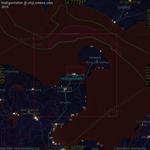
Analysis of Heiligenhafen night lights 2016
Square area 10x10 km:
 0%
0%90-99
0.38%80-89
0.13%70-79
0%60-69
0.5%50-59
0.5%40-49
1%30-39
0%20-29
0%10-19
0%0-9
97.49%Square area 50x50 km:
0.01%90-99
0.04%80-89
0%70-79
0%60-69
0.05%50-59
0.16%40-49
0.12%30-39
0.27%20-29
0.16%10-19
0%0-9
99.18%Clear (daylight) street map image can be seen on geolist.org.
Map coordinates:
54° 46' 38" North, 10° 16' 37.6" East
54° 22' 10.7" North, 10° 58' 48.8" East
53° 57' 28.8" North, 11° 41' 0.1" East
Some cities around Heiligenhafen sort by population:
• Neustadt in Holstein
31.1 km =19.3 mi,  200°
200°
• Fehmarn
15.7 km =9.8 mi,  61°
61°
• Malente
35 km =21.7 mi,  231°
231°
• Oldenburg in Holstein
9.7 km =6 mi,  211°
211°
• Grömitz
24.4 km =15.2 mi,  182°
182°
• Burg auf Fehmarn
15.9 km =9.9 mi, 63°
• Lütjenburg
26.8 km =16.7 mi,  251°
251°
• Lensahn
18.2 km =11.3 mi, 200°
2907589 (p: 9,308)
Sources (retrieved 2019-11-25):
» Earth at Night: Flat Maps 2012, 2016