Fehmarn night lights from space
Night Light of Fehmarn (Schleswig-Holstein) from space (Germany) Src. Average luminocity for 10x10km area is 1.1136% and for 50x50km: 0.2885%.
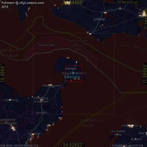
Analysis of Fehmarn night lights 2016
Square area 10x10 km:
 0%
0%90-99
0%80-89
0%70-79
0%60-69
0%50-59
0%40-49
0%30-39
1.91%20-29
1.44%10-19
0%0-9
96.65%Square area 50x50 km:
0.03%90-99
0.04%80-89
0%70-79
0%60-69
0.04%50-59
0.06%40-49
0.09%30-39
0.18%20-29
0.08%10-19
0%0-9
99.46%Clear (daylight) street map image can be seen on geolist.org.
Map coordinates:
54° 50' 40.9" North, 10° 29' 25.4" East
54° 26' 16.1" North, 11° 11' 36.7" East
54° 1' 36.6" North, 11° 53' 47.9" East
Some cities around Fehmarn sort by population:
• Nakskov, DK
43.8 km =27.2 mi,  355°
355°
• Oldenburg in Holstein
24.6 km =15.3 mi,  230°
230°
• Heiligenhafen
15.7 km =9.8 mi,  241°
241°
• Grömitz
35.2 km =21.9 mi,  204°
204°
• Burg auf Fehmarn
0.7 km =0.4 mi,  139°
139°
• Lütjenburg
42.4 km =26.3 mi,  247°
247°
• Maribo, DK
42.5 km =26.4 mi,  27°
27°
• Lensahn
31.8 km =19.8 mi,  219°
219°
8051091 (p: 12,942)
Sources (retrieved 2019-11-25):
» Earth at Night: Flat Maps 2012, 2016