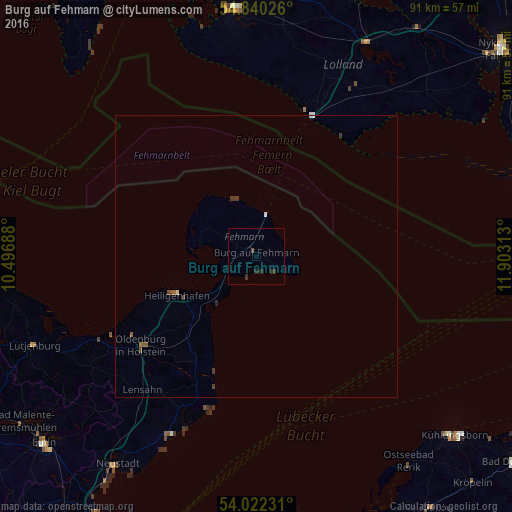
Burg auf Fehmarn night lights from space
Night Light of Burg auf Fehmarn (Schleswig-Holstein) from space (Germany) Src. Average luminocity for 10x10km area is 1.1112% and for 50x50km: 0.2683%.
Analysis of Burg auf Fehmarn night lights 2016
Square area 10x10 km:
 0%
0%90-99
0%80-89
0%70-79
0%60-69
0%50-59
0%40-49
0%30-39
1.91%20-29
1.44%10-19
0%0-9
96.65%Square area 50x50 km:
0.02%90-99
0.03%80-89
0%70-79
0%60-69
0.04%50-59
0.06%40-49
0.09%30-39
0.18%20-29
0.08%10-19
0%0-9
99.48%Clear (daylight) street map image can be seen on geolist.org.
Map coordinates:
54° 50' 24.9" North, 10° 29' 48.8" East
54° 25' 60" North, 11° 12' 0" East
54° 1' 20.3" North, 11° 54' 11.3" East
Some cities around Burg auf Fehmarn sort by population:
• Neustadt in Holstein
44.1 km =27.4 mi,  214°
214°
• Fehmarn
0.7 km =0.4 mi,  319°
319°
• Oldenburg in Holstein
24.7 km =15.3 mi,  231°
231°
• Heiligenhafen
15.9 km =9.9 mi,  243°
243°
• Grömitz
35 km =21.7 mi, 205°
• Lütjenburg
42.6 km =26.5 mi,  248°
248°
• Maribo, DK
42.8 km =26.6 mi,  26°
26°
• Lensahn
31.7 km =19.7 mi,  220°
220°
2941496 (p: 6,000)
Sources (retrieved 2019-11-25):
» Earth at Night: Flat Maps 2012, 2016