Grömitz night lights from space
Night Light of Grömitz (Schleswig-Holstein) from space (Germany) Src. Average luminocity for 10x10km area is 2.6174% and for 50x50km: 1.4628%.
Analysis of Grömitz night lights 2016
Square area 10x10 km:
 0%
0%90-99
0.51%80-89
0%70-79
0%60-69
0%50-59
1.01%40-49
0.51%30-39
1.77%20-29
1.77%10-19
0%0-9
94.44%Square area 50x50 km:
0.15%90-99
0.13%80-89
0.04%70-79
0.15%60-69
0.16%50-59
0.22%40-49
0.34%30-39
0.42%20-29
0.52%10-19
0.94%0-9
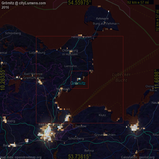
96.94%Clear (daylight) street map image can be seen on geolist.org.
Map coordinates:
54° 33' 35.1" North, 10° 15' 48.8" East
54° 9' 0" North, 10° 58' 0" East
53° 44' 10.1" North, 11° 40' 11.3" East
Some cities around Grömitz sort by population:
• Eutin
23.4 km =14.5 mi,  267°
267°
• Neustadt in Holstein
11 km =6.8 mi,  244°
244°
• Travemünde
21.7 km =13.5 mi,  196°
196°
• Scharbeutz
19.2 km =11.9 mi,  227°
227°
• Oldenburg in Holstein
16.8 km =10.4 mi,  345°
345°
• Timmendorfer Strand
21.2 km =13.2 mi,  215°
215°
• Süsel
18.9 km =11.7 mi,  246°
246°
• Lensahn
9.2 km =5.7 mi,  323°
323°
2917150 (p: 7,847)
Sources (retrieved 2019-11-25):
» Earth at Night: Flat Maps 2012, 2016