Oberkirch night lights from space
Night Light of Oberkirch (Baden-Württemberg) from space (Germany) Src. Average luminocity for 10x10km area is 4.3512% and for 50x50km: 11.2662%.
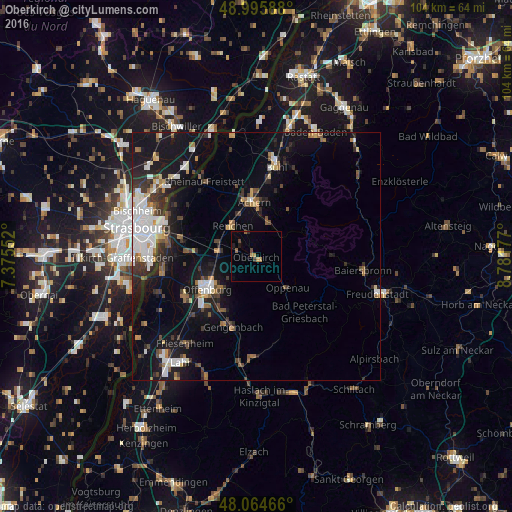
Analysis of Oberkirch night lights 2016
Square area 10x10 km:
 0%
0%90-99
0%80-89
0%70-79
1.49%60-69
1.19%50-59
0.6%40-49
1.19%30-39
0.6%20-29
0.3%10-19
1.19%0-9
93.45%Square area 50x50 km:
2.26%90-99
1.85%80-89
0.71%70-79
0.88%60-69
1.19%50-59
1.21%40-49
1.34%30-39
1.95%20-29
2.7%10-19
9.83%0-9
76.07%Clear (daylight) street map image can be seen on geolist.org.
Map coordinates:
48° 59' 45.2" North, 7° 22' 31.9" East
48° 31' 56.7" North, 8° 4' 43.1" East
48° 3' 52.8" North, 8° 46' 54.4" East
Some cities around Oberkirch sort by population:
• Offenburg
11.8 km =7.3 mi,  236°
236°
• Achern
11 km =6.8 mi,  359°
359°
• Gengenbach
15 km =9.3 mi,  198°
198°
• Willstätt
13.7 km =8.5 mi,  273°
273°
• Renchen
7.9 km =4.9 mi,  322°
322°
• Haslach
4 km =2.5 mi,  336°
336°
• Kappelrodeck
7.2 km =4.5 mi,  23°
23°
• Sasbach
12 km =7.5 mi,  5°
5°
2860080 (p: 20,375)
Sources (retrieved 2019-11-25):
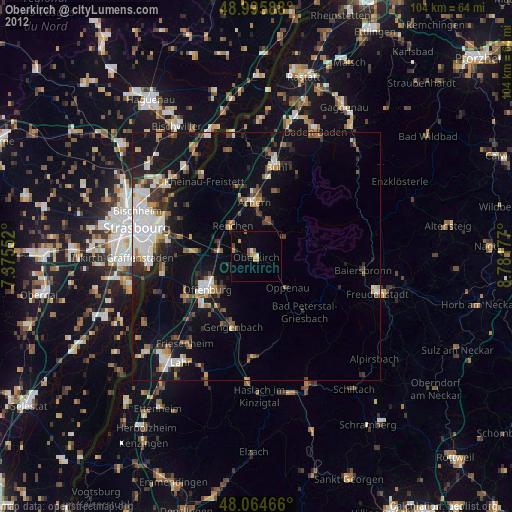
» Earth at Night: Flat Maps 2012, 2016