Neu-Ulm night lights from space
Night Light of Neu-Ulm (Bavaria) from space (Germany) Src. Average luminocity for 10x10km area is 48.8807% and for 50x50km: 7.0297%.
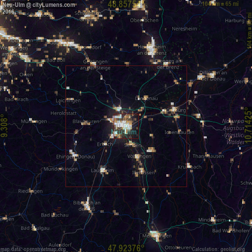
Analysis of Neu-Ulm night lights 2016
Square area 10x10 km:
 11.93%
90-99
10.65%80-89
3.27%70-79
6.68%60-69
5.26%50-59
2.84%40-49
7.39%30-39
10.94%20-29
13.78%10-19
21.59%0-9
5.68%Square area 50x50 km:
0.86%90-99
1.04%80-89
0.55%70-79
0.89%60-69
0.68%50-59
0.85%40-49
1.23%30-39
1.18%20-29
1.7%10-19
4.1%0-9
86.91%Clear (daylight) street map image can be seen on geolist.org.
Map coordinates:
48° 51' 27.1" North, 9° 18' 28.8" East
48° 23' 34" North, 10° 0' 40" East
47° 55' 25.5" North, 10° 42' 51.3" East
Some cities around Neu-Ulm sort by population:
• Ulm
1.6 km =1 mi,  293°
293°
• Senden
8 km =5 mi,  162°
162°
• Klingenstein
8.1 km =5 mi, 290°
• Erbach
11.6 km =7.2 mi,  231°
231°
• Vöhringen
13.8 km =8.6 mi, 157°
• Nersingen
9.2 km =5.7 mi,  64°
64°
• Dornstadt
9.6 km =6 mi,  329°
329°
• Pfaffenhofen an der Roth
11.9 km =7.4 mi,  110°
110°
2863941 (p: 51,389)
Sources (retrieved 2019-11-25):
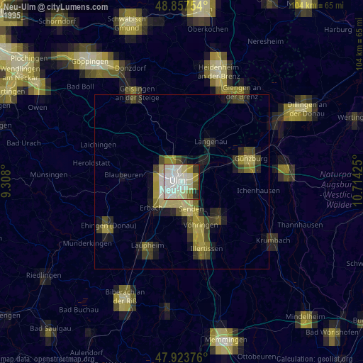
» NASA, Earths city lights 1995
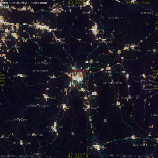
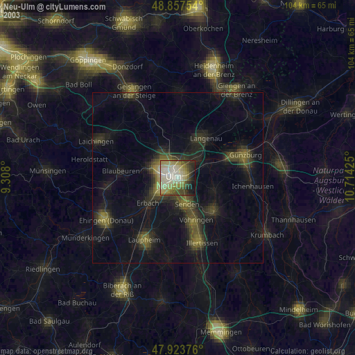
» NASA city lights 2003
» Earth at Night: Flat Maps 2012, 2016