Naumburg night lights from space
Night Light of Naumburg (Saxony-Anhalt) from space (Germany) Src. Average luminocity for 10x10km area is 8.0909% and for 50x50km: 4.253%.
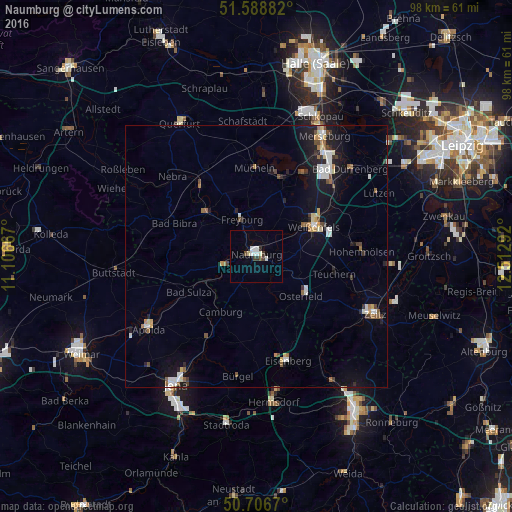
Analysis of Naumburg night lights 2016
Square area 10x10 km:
 1.2%
1.2%90-99
2.54%80-89
1.07%70-79
0%60-69
0%50-59
0.67%40-49
0.53%30-39
2.01%20-29
0.53%10-19
0%0-9
91.44%Square area 50x50 km:
0.71%90-99
0.66%80-89
0.39%70-79
0.31%60-69
0.44%50-59
0.46%40-49
0.54%30-39
0.46%20-29
0.67%10-19
3.56%0-9
91.8%Clear (daylight) street map image can be seen on geolist.org.
Map coordinates:
51° 35' 19.8" North, 11° 6' 24" East
51° 8' 59.5" North, 11° 48' 35.2" East
50° 42' 24.1" North, 12° 30' 46.5" East
Some cities around Naumburg sort by population:
• Weißenfels
12.5 km =7.8 mi,  62°
62°
• Bad Dürrenberg
24.1 km =15 mi,  47°
47°
• Eisenberg
21.2 km =13.2 mi,  162°
162°
• Hohenmölsen
20.3 km =12.6 mi,  87°
87°
• Leuna
23.6 km =14.7 mi,  37°
37°
• Braunsbedra
16.1 km =10 mi,  20°
20°
• Mücheln
16.3 km =10.1 mi,  359°
359°
• Bad Kösen
6.4 km =4 mi,  254°
254°
2866906 (p: 29,722)
Sources (retrieved 2019-11-25):
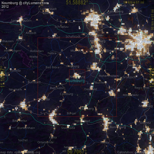
» Earth at Night: Flat Maps 2012, 2016