Münnerstadt night lights from space
Night Light of Münnerstadt (Bavaria) from space (Germany) Src. Average luminocity for 10x10km area is 0.8409% and for 50x50km: 2.3342%.
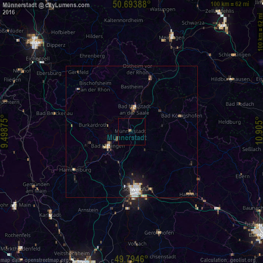
Analysis of Münnerstadt night lights 2016
Square area 10x10 km:
 0%
0%90-99
0%80-89
0%70-79
0%60-69
0.53%50-59
0.53%40-49
0%30-39
0%20-29
0%10-19
0%0-9
98.93%Square area 50x50 km:
0.4%90-99
0.48%80-89
0.19%70-79
0.22%60-69
0.27%50-59
0.27%40-49
0.28%30-39
0.34%20-29
0.53%10-19
1.51%0-9
95.51%Clear (daylight) street map image can be seen on geolist.org.
Map coordinates:
50° 41' 38" North, 9° 29' 55.5" East
50° 14' 46.9" North, 10° 12' 6.7" East
49° 47' 40.6" North, 10° 54' 18" East
Some cities around Münnerstadt sort by population:
• Bad Kissingen
10.1 km =6.3 mi,  240°
240°
• Bad Neustadt an der Saale
8.4 km =5.2 mi,  2°
2°
• Niederwerrn
20.6 km =12.8 mi,  183°
183°
• Burkardroth
15.2 km =9.4 mi,  280°
280°
• Dittelbrunn
19.4 km =12.1 mi, 176°
• Bad Königshofen im Grabfeld
19.9 km =12.4 mi,  72°
72°
• Oerlenbach
11.8 km =7.3 mi,  204°
204°
• Oberthulba
18.1 km =11.2 mi,  253°
253°
2867571 (p: 7,987)
Sources (retrieved 2019-11-25):
» Earth at Night: Flat Maps 2012, 2016