Bad Kissingen night lights from space
Night Light of Bad Kissingen (Bavaria) from space (Germany) Src. Average luminocity for 10x10km area is 7.1551% and for 50x50km: 2.6299%.
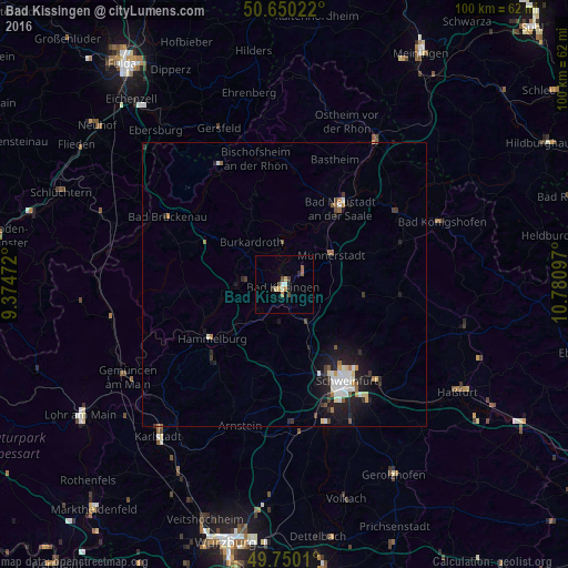
Analysis of Bad Kissingen night lights 2016
Square area 10x10 km:
 0.8%
0.8%90-99
0.94%80-89
1.07%70-79
0.94%60-69
0.53%50-59
1.07%40-49
2.14%30-39
0%20-29
1.74%10-19
0.4%0-9
90.37%Square area 50x50 km:
0.43%90-99
0.52%80-89
0.21%70-79
0.21%60-69
0.27%50-59
0.25%40-49
0.32%30-39
0.37%20-29
0.76%10-19
2.2%0-9
94.46%Clear (daylight) street map image can be seen on geolist.org.
Map coordinates:
50° 39' 0.8" North, 9° 22' 29" East
50° 12' 8.2" North, 10° 4' 40.2" East
49° 45' 0.4" North, 10° 46' 51.5" East
Some cities around Bad Kissingen sort by population:
• Bad Neustadt an der Saale
16.1 km =10 mi,  34°
34°
• Hammelburg
16.4 km =10.2 mi,  234°
234°
• Münnerstadt
10.1 km =6.3 mi,  60°
60°
• Niederwerrn
17.3 km =10.7 mi,  154°
154°
• Burkardroth
9.8 km =6.1 mi,  321°
321°
• Dittelbrunn
17.7 km =11 mi, 145°
• Oerlenbach
7 km =4.3 mi, 145°
• Oberthulba
8.5 km =5.3 mi,  267°
267°
2953424 (p: 21,328)
Sources (retrieved 2019-11-25):
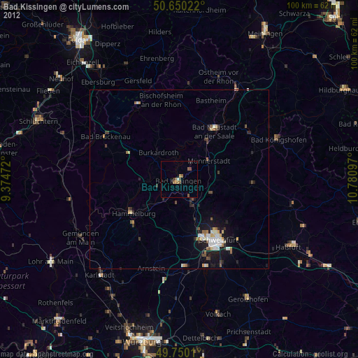
» Earth at Night: Flat Maps 2012, 2016