Dittelbrunn night lights from space
Night Light of Dittelbrunn (Bavaria) from space (Germany) Src. Average luminocity for 10x10km area is 31.2941% and for 50x50km: 2.7192%.
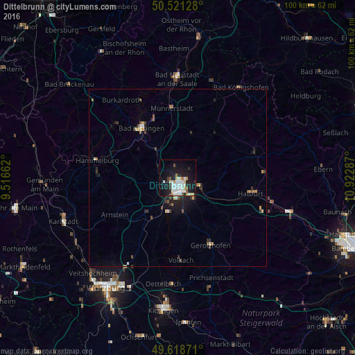
Analysis of Dittelbrunn night lights 2016
Square area 10x10 km:
 8.12%
8.12%90-99
9.1%80-89
2.1%70-79
2.52%60-69
1.4%50-59
2.1%40-49
0.56%30-39
2.52%20-29
6.72%10-19
32.35%0-9
32.49%Square area 50x50 km:
0.42%90-99
0.5%80-89
0.22%70-79
0.24%60-69
0.26%50-59
0.24%40-49
0.38%30-39
0.41%20-29
0.72%10-19
2.17%0-9
94.44%Clear (daylight) street map image can be seen on geolist.org.
Map coordinates:
50° 31' 16.6" North, 9° 30' 59.8" East
50° 4' 19.6" North, 10° 13' 11.1" East
49° 37' 7.4" North, 10° 55' 22.3" East
Some cities around Dittelbrunn sort by population:
• Schweinfurt
2.5 km =1.6 mi,  176°
176°
• Bad Kissingen
17.7 km =11 mi,  325°
325°
• Werneck
13.2 km =8.2 mi,  220°
220°
• Schonungen
6.8 km =4.2 mi,  111°
111°
• Niederwerrn
2.9 km =1.8 mi,  245°
245°
• Gochsheim
7.7 km =4.8 mi,  143°
143°
• Kolitzheim
17.3 km =10.7 mi, 176°
• Oerlenbach
10.6 km =6.6 mi,  324°
324°
2936759 (p: 7,620)
Sources (retrieved 2019-11-25):
» Earth at Night: Flat Maps 2012, 2016