Münchberg night lights from space
Night Light of Münchberg (Bavaria) from space (Germany) Src. Average luminocity for 10x10km area is 2.1257% and for 50x50km: 2.352%.
Analysis of Münchberg night lights 2016
Square area 10x10 km:
 0.27%
0.27%90-99
0%80-89
0.53%70-79
0.94%60-69
0%50-59
0%40-49
0%30-39
1.07%20-29
0%10-19
0%0-9
97.19%Square area 50x50 km:
0.28%90-99
0.36%80-89
0.19%70-79
0.31%60-69
0.17%50-59
0.36%40-49
0.4%30-39
0.49%20-29
0.28%10-19
1.15%0-9
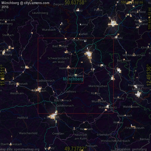
96.01%Clear (daylight) street map image can be seen on geolist.org.
Map coordinates:
50° 38' 15.3" North, 11° 5' 6.4" East
50° 11' 22.3" North, 11° 47' 17.6" East
49° 44' 14" North, 12° 29' 28.9" East
Some cities around Münchberg sort by population:
• Hof
16.3 km =10.1 mi,  32°
32°
• Selb
24.5 km =15.2 mi,  94°
94°
• Schwarzenbach an der Saale
11.1 km =6.9 mi,  70°
70°
• Wunsiedel
22.7 km =14.1 mi,  137°
137°
• Rehau
18.7 km =11.6 mi, 69°
• Helmbrechts
7.3 km =4.5 mi,  314°
314°
• Naila
16.7 km =10.4 mi,  339°
339°
• Oberkotzau
13.2 km =8.2 mi,  52°
52°
2867726 (p: 11,557)
Sources (retrieved 2019-11-25):
» Earth at Night: Flat Maps 2012, 2016