Hof night lights from space
Night Light of Hof (Bavaria) from space (Germany) Src. Average luminocity for 10x10km area is 19.7634% and for 50x50km: 3.0733%.
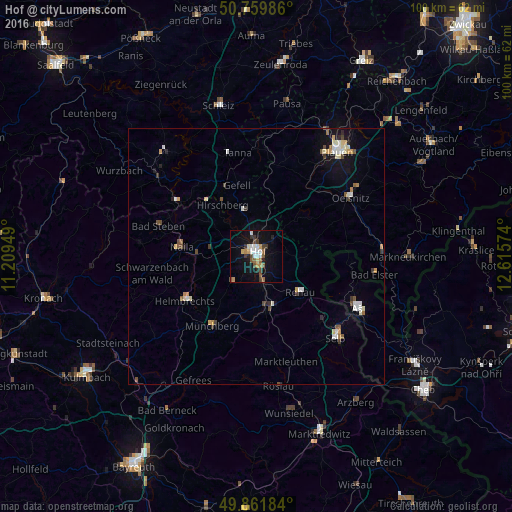
Analysis of Hof night lights 2016
Square area 10x10 km:
 2.41%
2.41%90-99
3.61%80-89
1.34%70-79
2.81%60-69
1.6%50-59
3.61%40-49
2.81%30-39
3.48%20-29
2.01%10-19
16.58%0-9
59.76%Square area 50x50 km:
0.4%90-99
0.51%80-89
0.38%70-79
0.41%60-69
0.21%50-59
0.43%40-49
0.43%30-39
0.43%20-29
0.26%10-19
1.73%0-9
94.81%Clear (daylight) street map image can be seen on geolist.org.
Map coordinates:
50° 45' 35.5" North, 11° 12' 34.2" East
50° 18' 46.7" North, 11° 54' 45.4" East
49° 51' 42.6" North, 12° 36' 56.7" East
Some cities around Hof sort by population:
• Selb
22.2 km =13.8 mi,  135°
135°
• Oelsnitz
21.4 km =13.3 mi,  58°
58°
• Münchberg
16.3 km =10.1 mi,  212°
212°
• Schwarzenbach an der Saale
10.2 km =6.3 mi,  170°
170°
• Rehau
11.2 km =7 mi,  129°
129°
• Helmbrechts
16.4 km =10.2 mi,  238°
238°
• Naila
14.9 km =9.3 mi,  277°
277°
• Oberkotzau
5.8 km =3.6 mi,  164°
164°
2902768 (p: 49,239)
Sources (retrieved 2019-11-25):
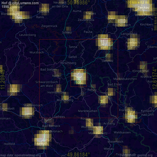
» NASA, Earths city lights 1995
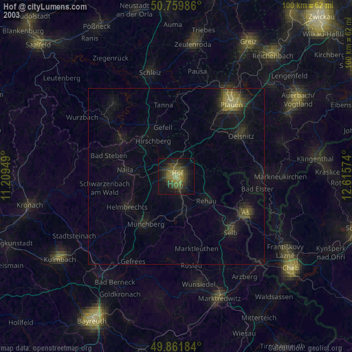
» NASA city lights 2003
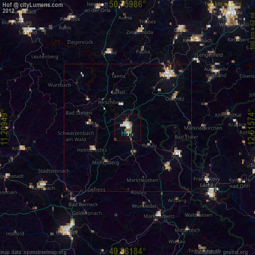
» Earth at Night: Flat Maps 2012, 2016