Meissen night lights from space
Night Light of Meissen (Saxony) from space (Germany) Src. Average luminocity for 10x10km area is 12.2794% and for 50x50km: 9.6042%.
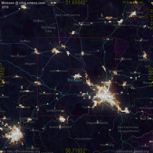
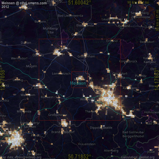
Analysis of Meissen night lights 2016
Square area 10x10 km:
 1.34%
1.34%90-99
1.74%80-89
1.07%70-79
2.27%60-69
1.34%50-59
0.8%40-49
2.94%30-39
0.8%20-29
0.53%10-19
1.34%0-9
85.83%Square area 50x50 km:
1.71%90-99
1.85%80-89
0.72%70-79
1.16%60-69
1.24%50-59
1.35%40-49
1.22%30-39
1.28%20-29
2.03%10-19
4.95%0-9
82.48%Clear (daylight) street map image can be seen on geolist.org.
Map coordinates:
51° 36' 1.5" North, 12° 46' 14.1" East
51° 9' 41.7" North, 13° 28' 25.3" East
50° 43' 6.7" North, 14° 10' 36.6" East
Some cities around Meissen sort by population:
• Radebeul
14.4 km =8.9 mi,  115°
115°
• Coswig
8.3 km =5.2 mi,  113°
113°
• Wilsdruff
13 km =8.1 mi,  160°
160°
• Weinböhla
6.5 km =4 mi,  85°
85°
• Moritzburg
14.4 km =8.9 mi, 91°
• Klipphausen
10.7 km =6.6 mi, 164°
• Lommatzsch
12.1 km =7.5 mi,  288°
288°
• Ebersbach
14.6 km =9.1 mi,  56°
56°
2872155 (p: 28,492)
Sources (retrieved 2019-11-25):
» Earth at Night: Flat Maps 2012, 2016