Wittenberge night lights from space
Night Light of Wittenberge (Brandenburg) from space (Germany) Src. Average luminocity for 10x10km area is 9.3122% and for 50x50km: 0.6057%.
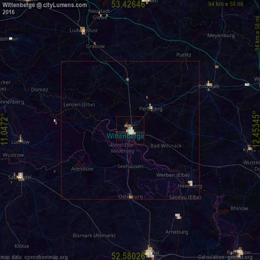
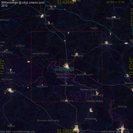
Analysis of Wittenberge night lights 2016
Square area 10x10 km:
 0.93%
0.93%90-99
2.25%80-89
0.66%70-79
1.46%60-69
1.46%50-59
1.59%40-49
0.66%30-39
0.26%20-29
0.26%10-19
0.93%0-9
89.55%Square area 50x50 km:
0.05%90-99
0.12%80-89
0.07%70-79
0.06%60-69
0.15%50-59
0.11%40-49
0.07%30-39
0.04%20-29
0.05%10-19
0.04%0-9
99.26%Clear (daylight) street map image can be seen on geolist.org.
Map coordinates:
53° 25' 35.3" North, 11° 2' 49.9" East
53° 0' 19.5" North, 11° 45' 1.2" East
52° 34' 48.9" North, 12° 27' 12.4" East
Some cities around Wittenberge sort by population:
• Pritzwalk
32.5 km =20.2 mi,  60°
60°
• Perleberg
10.6 km =6.6 mi,  42°
42°
• Ludwigslust
39.8 km =24.7 mi,  334°
334°
• Lüchow
40.1 km =24.9 mi,  264°
264°
• Osterburg
24.3 km =15.1 mi,  179°
179°
• Karstädt
17.4 km =10.8 mi,  358°
358°
• Havelberg
29.2 km =18.1 mi,  131°
131°
• Grabow
32.9 km =20.4 mi,  337°
337°
2807344 (p: 20,171)
Sources (retrieved 2019-11-25):
» Earth at Night: Flat Maps 2012, 2016