Güstrow night lights from space
Night Light of Güstrow (Mecklenburg-Vorpommern) from space (Germany) Src. Average luminocity for 10x10km area is 9.4127% and for 50x50km: 0.5887%.
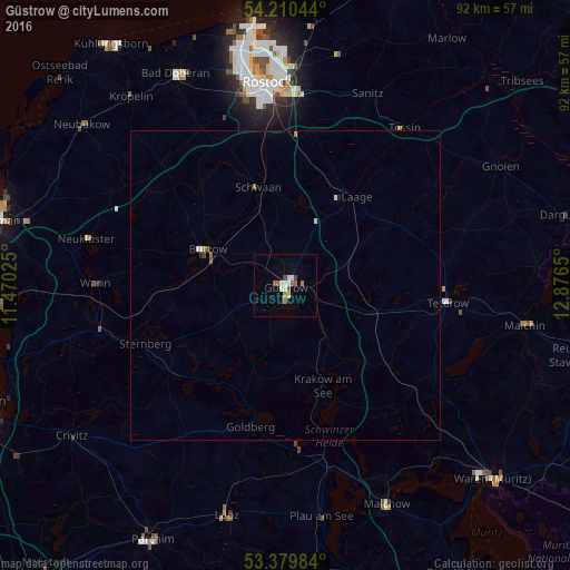
Analysis of Güstrow night lights 2016
Square area 10x10 km:
 1.32%
1.32%90-99
2.25%80-89
0.66%70-79
0.66%60-69
2.51%50-59
0.93%40-49
1.19%30-39
0%20-29
0%10-19
0.13%0-9
90.34%Square area 50x50 km:
0.07%90-99
0.15%80-89
0.03%70-79
0.03%60-69
0.16%50-59
0.09%40-49
0.06%30-39
0.02%20-29
0.03%10-19
0.02%0-9
99.36%Clear (daylight) street map image can be seen on geolist.org.
Map coordinates:
54° 12' 37.6" North, 11° 28' 12.9" East
53° 47' 49.9" North, 12° 10' 24.1" East
53° 22' 47.4" North, 12° 52' 35.4" East
Some cities around Güstrow sort by population:
• Rostock
32.5 km =20.2 mi,  356°
356°
• Dierkow-Neu
34.3 km =21.3 mi, 359°
• Teterow
26.5 km =16.5 mi,  95°
95°
• Bützow
13.8 km =8.6 mi,  294°
294°
• Lübz
38.4 km =23.9 mi,  194°
194°
• Satow-Oberhagen
29 km =18 mi,  319°
319°
• Plau am See
38.1 km =23.7 mi,  171°
171°
• Schwaan
16.5 km =10.3 mi,  344°
344°
2913433 (p: 31,217)
Sources (retrieved 2019-11-25):
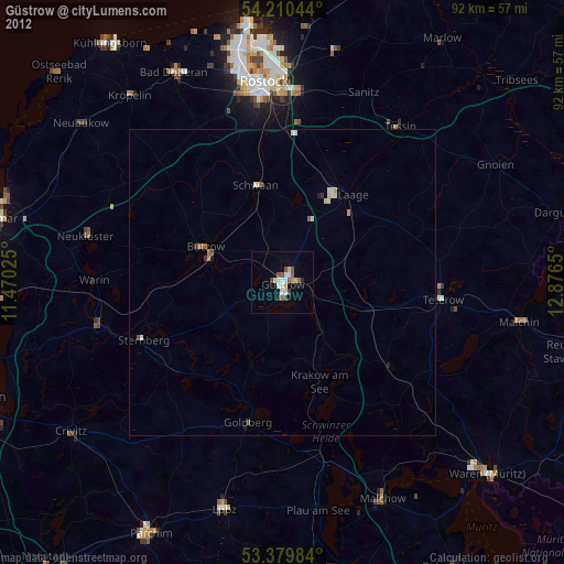
» Earth at Night: Flat Maps 2012, 2016