Lindau night lights from space
Night Light of Lindau (Bavaria) from space (Germany) Src. Average luminocity for 10x10km area is 13.2827% and for 50x50km: 7.5429%.
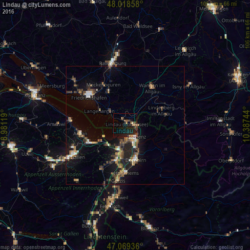
Analysis of Lindau night lights 2016
Square area 10x10 km:
 0.57%
0.57%90-99
0.85%80-89
0.57%70-79
1.85%60-69
2.41%50-59
3.69%40-49
2.13%30-39
1.14%20-29
1.42%10-19
21.16%0-9
64.2%Square area 50x50 km:
0.52%90-99
0.94%80-89
0.64%70-79
0.68%60-69
1.21%50-59
1.28%40-49
1.49%30-39
1.2%20-29
2.04%10-19
7.34%0-9
82.65%Clear (daylight) street map image can be seen on geolist.org.
Map coordinates:
48° 1' 6.9" North, 8° 58' 52.3" East
47° 32' 46" North, 9° 41' 3.5" East
47° 4' 9.7" North, 10° 23' 14.8" East
Some cities around Lindau sort by population:
• Bregenz, AT
6.7 km =4.2 mi,  135°
135°
• Hard, AT
7 km =4.3 mi,  180°
180°
• Lauterach, AT
8.5 km =5.3 mi,  156°
156°
• Wolfurt, AT
10.1 km =6.3 mi,  150°
150°
• Höchst, AT
10.2 km =6.3 mi,  198°
198°
• Kressbronn am Bodensee
8.7 km =5.4 mi,  311°
311°
• Hörbranz, AT
4.9 km =3 mi,  84°
84°
• Lochau, AT
5.1 km =3.2 mi,  106°
106°
2877550 (p: 24,518)
Sources (retrieved 2019-11-25):
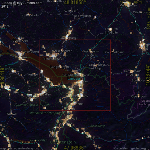
» Earth at Night: Flat Maps 2012, 2016