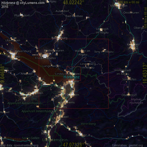
Hörbranz night lights from space
Night Light of Hörbranz (Vorarlberg) from space (Austria) Src. Average luminocity for 10x10km area is 12.358% and for 50x50km: 6.5185%.
Analysis of Hörbranz night lights 2016
Square area 10x10 km:
 0.28%
0.28%90-99
0.57%80-89
0.85%70-79
1.56%60-69
1.85%50-59
3.98%40-49
1.99%30-39
0.99%20-29
1.99%10-19
21.73%0-9
64.2%Square area 50x50 km:
0.41%90-99
0.8%80-89
0.53%70-79
0.61%60-69
1.05%50-59
1.15%40-49
1.35%30-39
1.02%20-29
1.88%10-19
6.15%0-9
85.05%Clear (daylight) street map image can be seen on geolist.org.
Map coordinates:
48° 1' 20.7" North, 9° 2' 48.8" East
47° 33' 0" North, 9° 45' 0" East
47° 4' 23.8" North, 10° 27' 11.3" East
Some cities around Hörbranz sort by population:
• Bregenz
5.2 km =3.2 mi,  182°
182°
• Lindau, DE
4.9 km =3 mi,  264°
264°
• Hard
9 km =5.6 mi,  214°
214°
• Lauterach
8.4 km =5.2 mi,  190°
190°
• Wolfurt
9.3 km =5.8 mi, 180°
• Kressbronn am Bodensee, DE
12.6 km =7.8 mi,  294°
294°
• Weiler-Simmerberg, DE
12.8 km =8 mi,  73°
73°
• Lochau
1.9 km =1.2 mi, 180°
2775531 (p: 6,346)
Sources (retrieved 2019-11-25):
» Earth at Night: Flat Maps 2012, 2016