Laudenbach night lights from space
Night Light of Laudenbach (Baden-Württemberg) from space (Germany) Src. Average luminocity for 10x10km area is 14.4286% and for 50x50km: 18.8956%.
Analysis of Laudenbach night lights 2016
Square area 10x10 km:
 0.42%
0.42%90-99
2.94%80-89
1.54%70-79
1.68%60-69
0.42%50-59
0.28%40-49
1.26%30-39
2.38%20-29
2.1%10-19
36.41%0-9
50.56%Square area 50x50 km:
3.81%90-99
4.32%80-89
1.59%70-79
1.59%60-69
1.62%50-59
2.03%40-49
2.06%30-39
2.82%20-29
6.51%10-19
13.19%0-9
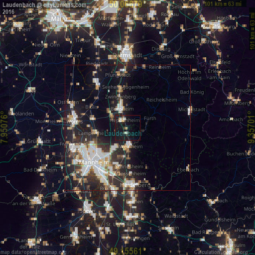
60.47%Clear (daylight) street map image can be seen on geolist.org.
Map coordinates:
50° 4' 0.4" North, 7° 57' 2.7" East
49° 36' 48" North, 8° 39' 14" East
49° 9' 20.2" North, 9° 21' 25.2" East
Some cities around Laudenbach sort by population:
• Weinheim
7.2 km =4.5 mi,  172°
172°
• Bensheim
8.2 km =5.1 mi,  341°
341°
• Heppenheim an der Bergstrasse
3.5 km =2.2 mi,  333°
333°
• Lorsch
7.5 km =4.7 mi,  302°
302°
• Hemsbach
2.5 km =1.6 mi,  189°
189°
• Mörlenbach
6 km =3.7 mi,  105°
105°
• Birkenau
6.8 km =4.2 mi,  145°
145°
• Rimbach
8 km =5 mi,  80°
80°
2880204 (p: 6,141)
Sources (retrieved 2019-11-25):
» Earth at Night: Flat Maps 2012, 2016