Bensheim night lights from space
Night Light of Bensheim (Hesse) from space (Germany) Src. Average luminocity for 10x10km area is 27.3356% and for 50x50km: 17.1014%.
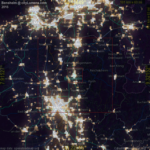
Analysis of Bensheim night lights 2016
Square area 10x10 km:
 3.48%
3.48%90-99
6.95%80-89
2.81%70-79
2.54%60-69
1.2%50-59
3.07%40-49
3.61%30-39
1.47%20-29
5.61%10-19
39.17%0-9
30.08%Square area 50x50 km:
3.52%90-99
3.89%80-89
1.27%70-79
1.53%60-69
1.55%50-59
1.54%40-49
1.73%30-39
2.11%20-29
5.1%10-19
13.75%0-9
64.02%Clear (daylight) street map image can be seen on geolist.org.
Map coordinates:
50° 8' 11.4" North, 7° 54' 55" East
49° 41' 1.3" North, 8° 37' 6.2" East
49° 13' 35.9" North, 9° 19' 17.5" East
Some cities around Bensheim sort by population:
• Heppenheim an der Bergstrasse
4.8 km =3 mi,  168°
168°
• Seeheim-Jugenheim
9.4 km =5.8 mi,  14°
14°
• Lorsch
5.3 km =3.3 mi,  224°
224°
• Alsbach-Hähnlein
6.3 km =3.9 mi,  345°
345°
• Zwingenberg
4.5 km =2.8 mi, 353°
• Laudenbach
8.2 km =5.1 mi,  161°
161°
• Einhausen
5.1 km =3.2 mi,  261°
261°
• Bickenbach
8.4 km =5.2 mi,  359°
359°
2950978 (p: 39,439)
Sources (retrieved 2019-11-25):
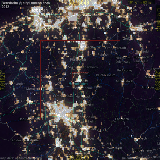
» Earth at Night: Flat Maps 2012, 2016