Klingenthal night lights from space
Night Light of Klingenthal (Saxony) from space (Germany) Src. Average luminocity for 10x10km area is 2.4818% and for 50x50km: 4.1451%.
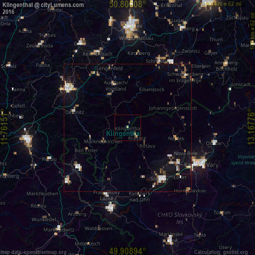
Analysis of Klingenthal night lights 2016
Square area 10x10 km:
 0%
0%90-99
0%80-89
1.12%70-79
0.56%60-69
0%50-59
0.42%40-49
0.7%30-39
0.56%20-29
0.56%10-19
0%0-9
96.08%Square area 50x50 km:
0.47%90-99
0.62%80-89
0.35%70-79
0.42%60-69
0.56%50-59
0.6%40-49
0.62%30-39
0.53%20-29
0.43%10-19
2.59%0-9
92.81%Clear (daylight) street map image can be seen on geolist.org.
Map coordinates:
50° 48' 21.9" North, 11° 45' 41.4" East
50° 21' 34.7" North, 12° 27' 52.7" East
49° 54' 32.2" North, 13° 10' 3.9" East
Some cities around Klingenthal sort by population:
• Auerbach
17.5 km =10.9 mi,  345°
345°
• Falkenstein
14.7 km =9.1 mi,  333°
333°
• Nejdek, CZ
19.2 km =11.9 mi,  102°
102°
• Kraslice, CZ
5.5 km =3.4 mi,  136°
136°
• Markneukirchen
11 km =6.8 mi,  240°
240°
• Eibenstock
17.8 km =11.1 mi,  32°
32°
• Adorf
15.2 km =9.4 mi,  253°
253°
• Schönheide
16.6 km =10.3 mi,  14°
14°
2887713 (p: 9,132)
Sources (retrieved 2019-11-25):
» Earth at Night: Flat Maps 2012, 2016