Kitzscher night lights from space
Night Light of Kitzscher (Saxony) from space (Germany) Src. Average luminocity for 10x10km area is 3.996% and for 50x50km: 8.6666%.
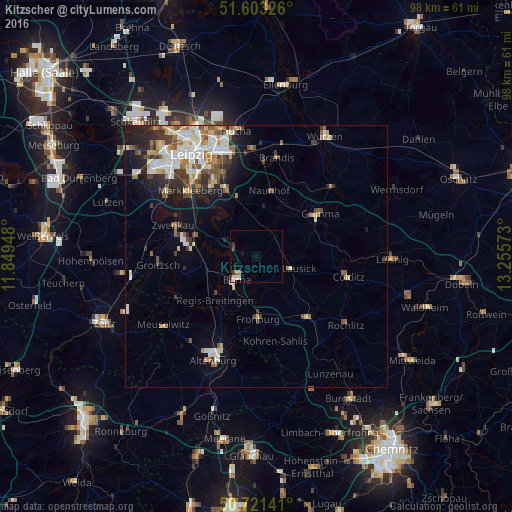
Analysis of Kitzscher night lights 2016
Square area 10x10 km:
 0.8%
0.8%90-99
1.2%80-89
0%70-79
0%60-69
1.07%50-59
0.27%40-49
0.67%30-39
0.67%20-29
0.27%10-19
0.8%0-9
94.25%Square area 50x50 km:
1.56%90-99
1.93%80-89
0.93%70-79
0.82%60-69
1.15%50-59
1.11%40-49
1.02%30-39
1.42%20-29
1.75%10-19
3.4%0-9
84.91%Clear (daylight) street map image can be seen on geolist.org.
Map coordinates:
51° 36' 11.7" North, 11° 50' 58.1" East
51° 9' 52" North, 12° 33' 9.4" East
50° 43' 17.1" North, 13° 15' 20.6" East
Some cities around Kitzscher sort by population:
• Borna
6 km =3.7 mi,  221°
221°
• Grimma
14 km =8.7 mi,  56°
56°
• Bad Lausick
6.8 km =4.2 mi,  108°
108°
• Naunhof
12.8 km =8 mi,  11°
11°
• Frohburg
11.9 km =7.4 mi,  178°
178°
• Böhlen
12.3 km =7.6 mi,  289°
289°
• Geithain
15.8 km =9.8 mi,  140°
140°
• Großpösna
11.9 km =7.4 mi,  342°
342°
2890155 (p: 6,152)
Sources (retrieved 2019-11-25):
» Earth at Night: Flat Maps 2012, 2016