Kiefersfelden night lights from space
Night Light of Kiefersfelden (Bavaria) from space (Germany) Src. Average luminocity for 10x10km area is 7.4744% and for 50x50km: 2.1849%.
Analysis of Kiefersfelden night lights 2016
Square area 10x10 km:
 2.7%
2.7%90-99
1.28%80-89
0%70-79
0%60-69
0.71%50-59
0.99%40-49
1.7%30-39
0%20-29
0.71%10-19
0.43%0-9
91.48%Square area 50x50 km:
0.32%90-99
0.28%80-89
0.11%70-79
0.12%60-69
0.18%50-59
0.29%40-49
0.36%30-39
0.47%20-29
0.58%10-19
0.95%0-9
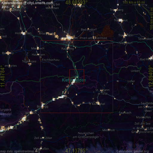
96.33%Clear (daylight) street map image can be seen on geolist.org.
Map coordinates:
48° 5' 9.3" North, 11° 29' 16.2" East
47° 36' 50.7" North, 12° 11' 27.5" East
47° 8' 16.6" North, 12° 53' 38.7" East
Some cities around Kiefersfelden sort by population:
• Wörgl, AT
17 km =10.6 mi,  214°
214°
• Raubling
20.5 km =12.7 mi,  343°
343°
• Kufstein, AT
3.9 km =2.4 mi, 208°
• Sankt Johann in Tirol, AT
20.1 km =12.5 mi,  120°
120°
• Kirchbichl, AT
12.9 km =8 mi, 213°
• Brannenburg
15.8 km =9.8 mi,  332°
332°
• Rohrdorf
20.4 km =12.7 mi,  355°
355°
• Burg Unter-Falkenstein
11.9 km =7.4 mi, 327°
2891175 (p: 6,912)
Sources (retrieved 2019-11-25):
» Earth at Night: Flat Maps 2012, 2016