Wörgl night lights from space
Night Light of Wörgl (Tyrol) from space (Austria) Src. Average luminocity for 10x10km area is 12.4233% and for 50x50km: 2.1808%.
Analysis of Wörgl night lights 2016
Square area 10x10 km:
 2.84%
2.84%90-99
1.7%80-89
0.99%70-79
0.71%60-69
0.71%50-59
1.14%40-49
0.99%30-39
1.85%20-29
2.98%10-19
0.71%0-9
85.37%Square area 50x50 km:
0.34%90-99
0.28%80-89
0.13%70-79
0.19%60-69
0.24%50-59
0.28%40-49
0.45%30-39
0.3%20-29
0.44%10-19
0.33%0-9
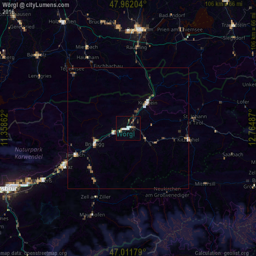
97.01%Clear (daylight) street map image can be seen on geolist.org.
Map coordinates:
47° 57' 43.3" North, 11° 21' 31" East
47° 29' 20.6" North, 12° 3' 42.3" East
47° 0' 42.4" North, 12° 45' 53.5" East
Some cities around Wörgl sort by population:
• Kufstein
13.1 km =8.1 mi,  36°
36°
• Kitzbühel
25.3 km =15.7 mi,  100°
100°
• Jenbach
24.3 km =15.1 mi,  243°
243°
• Kiefersfelden, DE
17 km =10.6 mi,  34°
34°
• Kirchbichl
4.1 km =2.5 mi, 39°
• Fischbachau, DE
26.9 km =16.7 mi,  342°
342°
• Kirchberg in Tirol
19.7 km =12.2 mi, 104°
• Burg Unter-Falkenstein, DE
24.2 km =15 mi,  7°
7°
2760854 (p: 13,811)
Sources (retrieved 2019-11-25):
» Earth at Night: Flat Maps 2012, 2016