Brannenburg night lights from space
Night Light of Brannenburg (Bavaria) from space (Germany) Src. Average luminocity for 10x10km area is 1.0997% and for 50x50km: 2.5598%.
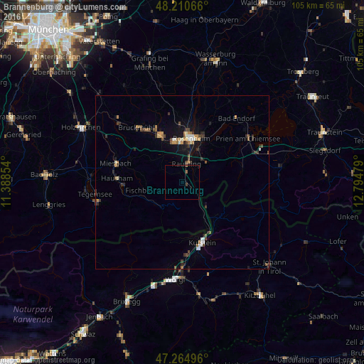
Analysis of Brannenburg night lights 2016
Square area 10x10 km:
 0%
0%90-99
0%80-89
0%70-79
0%60-69
0%50-59
0.6%40-49
0.3%30-39
0.6%20-29
0%10-19
0.45%0-9
98.07%Square area 50x50 km:
0.23%90-99
0.29%80-89
0.14%70-79
0.39%60-69
0.33%50-59
0.36%40-49
0.48%30-39
0.58%20-29
0.48%10-19
1.57%0-9
95.16%Clear (daylight) street map image can be seen on geolist.org.
Map coordinates:
48° 12' 38.4" North, 11° 23' 18.7" East
47° 44' 23.9" North, 12° 5' 30" East
47° 15' 53.9" North, 12° 47' 41.2" East
Some cities around Brannenburg sort by population:
• Rosenheim
13.1 km =8.1 mi,  10°
10°
• Kolbermoor
12.3 km =7.6 mi,  351°
351°
• Raubling
5.8 km =3.6 mi, 14°
• Bad Feilnbach
7.2 km =4.5 mi,  301°
301°
• Fischbachau
10.8 km =6.7 mi,  257°
257°
• Rohrdorf
8.6 km =5.3 mi,  42°
42°
• Riedering
14 km =8.7 mi, 38°
• Burg Unter-Falkenstein
4.1 km =2.5 mi,  166°
166°
2945165 (p: 5,646)
Sources (retrieved 2019-11-25):
» Earth at Night: Flat Maps 2012, 2016