Kastellaun night lights from space
Night Light of Kastellaun (Rheinland-Pfalz) from space (Germany) Src. Average luminocity for 10x10km area is 2.584% and for 50x50km: 1.3555%.
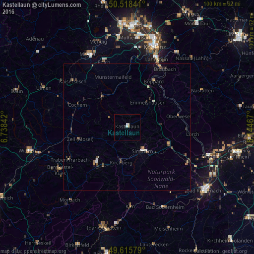
Analysis of Kastellaun night lights 2016
Square area 10x10 km:
 0%
0%90-99
1.4%80-89
0.28%70-79
0.56%60-69
0%50-59
0%40-49
0%30-39
0.56%20-29
0%10-19
0%0-9
97.2%Square area 50x50 km:
0.09%90-99
0.21%80-89
0.19%70-79
0.11%60-69
0.12%50-59
0.23%40-49
0.32%30-39
0.28%20-29
0.3%10-19
0.29%0-9
97.85%Clear (daylight) street map image can be seen on geolist.org.
Map coordinates:
50° 31' 6.3" North, 6° 44' 18.3" East
50° 4' 9.2" North, 7° 26' 29.5" East
49° 36' 56.8" North, 8° 8' 40.8" East
Some cities around Kastellaun sort by population:
• Lahnstein
28.5 km =17.7 mi,  25°
25°
• Boppard
20.9 km =13 mi, 30°
• Kirn
31.2 km =19.4 mi,  177°
177°
• Simmern
11.3 km =7 mi,  148°
148°
• Bernkastel-Kues
31.2 km =19.4 mi,  236°
236°
• Polch
27.2 km =16.9 mi,  340°
340°
• Traben-Trarbach
26.8 km =16.7 mi, 240°
• Cochem
21.5 km =13.4 mi,  293°
293°
2892485 (p: 5,285)
Sources (retrieved 2019-11-25):
» Earth at Night: Flat Maps 2012, 2016