Polch night lights from space
Night Light of Polch (Rheinland-Pfalz) from space (Germany) Src. Average luminocity for 10x10km area is 5.7607% and for 50x50km: 6.5547%.
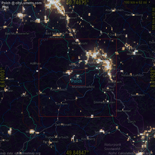
Analysis of Polch night lights 2016
Square area 10x10 km:
 0.67%
0.67%90-99
0.94%80-89
1.07%70-79
0.53%60-69
0.8%50-59
0%40-49
1.6%30-39
0%20-29
0.53%10-19
0%0-9
93.85%Square area 50x50 km:
0.75%90-99
0.98%80-89
0.58%70-79
0.52%60-69
0.98%50-59
1.17%40-49
1.3%30-39
0.79%20-29
2.25%10-19
4.56%0-9
86.12%Clear (daylight) street map image can be seen on geolist.org.
Map coordinates:
50° 44' 48.3" North, 6° 36' 36.1" East
50° 17' 59" North, 7° 18' 47.3" East
49° 50' 54.5" North, 8° 0' 58.6" East
Some cities around Polch sort by population:
• Neuwied
18.6 km =11.6 mi,  36°
36°
• Andernach
16 km =9.9 mi,  23°
23°
• Mayen
7.1 km =4.4 mi,  296°
296°
• Mülheim-Kärlich
16.2 km =10.1 mi,  54°
54°
• Mendig
7.7 km =4.8 mi,  344°
344°
• Weißenthurm
16.3 km =10.1 mi, 36°
• Plaidt
11.8 km =7.3 mi,  28°
28°
• Ochtendung
7.5 km =4.7 mi, 41°
2852909 (p: 6,590)
Sources (retrieved 2019-11-25):
» Earth at Night: Flat Maps 2012, 2016