Schipkau night lights from space
Night Light of Schipkau (Brandenburg) from space (Germany) Src. Average luminocity for 10x10km area is 6.5829% and for 50x50km: 2.0229%.
Analysis of Schipkau night lights 2016
Square area 10x10 km:
 1.34%
1.34%90-99
1.87%80-89
0%70-79
0.8%60-69
0.27%50-59
0.53%40-49
0.53%30-39
1.07%20-29
0%10-19
0%0-9
93.58%Square area 50x50 km:
0.16%90-99
0.25%80-89
0.12%70-79
0.26%60-69
0.31%50-59
0.48%40-49
0.44%30-39
0.41%20-29
0.22%10-19
0.18%0-9
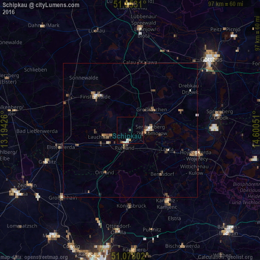
97.16%Clear (daylight) street map image can be seen on geolist.org.
Map coordinates:
51° 57' 11.2" North, 13° 11' 39.3" East
51° 31' 3.6" North, 13° 53' 50.6" East
51° 4' 40.9" North, 14° 36' 1.8" East
Some cities around Schipkau sort by population:
• Hoyerswerda
25 km =15.5 mi,  110°
110°
• Senftenberg
7.3 km =4.5 mi,  83°
83°
• Lauchhammer
9.7 km =6 mi,  250°
250°
• Finsterwalde
18.5 km =11.5 mi,  314°
314°
• Großräschen
11.1 km =6.9 mi,  45°
45°
• Calau
25.5 km =15.8 mi,  8°
8°
• Schwarzheide
5.4 km =3.4 mi,  212°
212°
• Bernsdorf
20 km =12.4 mi,  143°
143°
2839101 (p: 7,876)
Sources (retrieved 2019-11-25):
» Earth at Night: Flat Maps 2012, 2016