Halle (Saale) night lights from space
Night Light of Halle (Saale) (Saxony-Anhalt) from space (Germany) Src. Average luminocity for 10x10km area is 55.5615% and for 50x50km: 11.4991%.
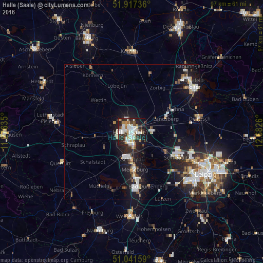
Analysis of Halle (Saale) night lights 2016
Square area 10x10 km:
 13.5%
13.5%90-99
18.18%80-89
3.61%70-79
4.68%60-69
4.01%50-59
4.55%40-49
6.02%30-39
9.09%20-29
19.92%10-19
14.84%0-9
1.6%Square area 50x50 km:
2.21%90-99
2.6%80-89
0.85%70-79
0.93%60-69
1.02%50-59
0.95%40-49
1.17%30-39
1.4%20-29
3.88%10-19
9.69%0-9
75.29%Clear (daylight) street map image can be seen on geolist.org.
Map coordinates:
51° 55' 2.5" North, 11° 16' 34.9" East
51° 28' 53.7" North, 11° 58' 46.1" East
51° 2' 29.7" North, 12° 40' 57.4" East
Some cities around Halle (Saale) sort by population:
• Merseburg
14.1 km =8.8 mi,  177°
177°
• Schkeuditz
19.2 km =11.9 mi,  119°
119°
• Bad Dürrenberg
21.5 km =13.4 mi,  163°
163°
• Teutschenthal
12.9 km =8 mi,  254°
254°
• Leuna
18.4 km =11.4 mi,  172°
172°
• Braunsbedra
22.6 km =14 mi,  195°
195°
• Mücheln
23.7 km =14.7 mi,  210°
210°
• Bad Lauchstädt
13 km =8.1 mi,  215°
215°
2911522 (p: 234,107)
Sources (retrieved 2019-11-25):
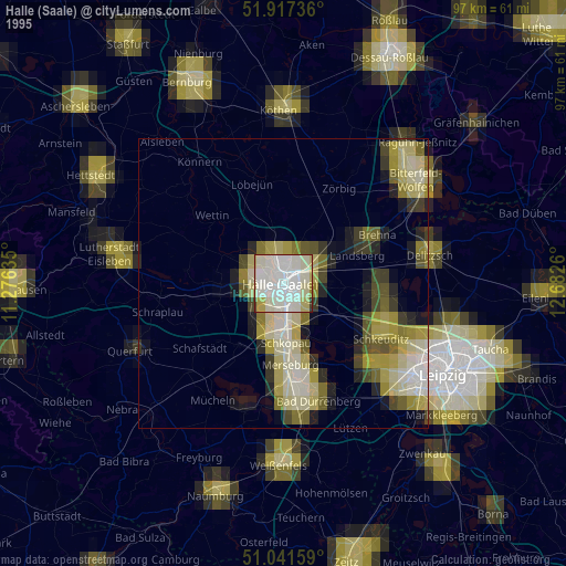
» NASA, Earths city lights 1995
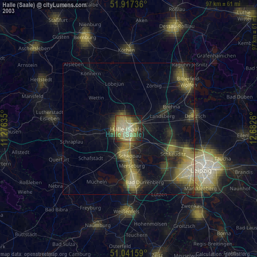
» NASA city lights 2003
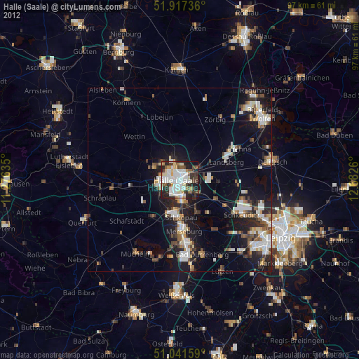
» Earth at Night: Flat Maps 2012, 2016