Dierkow-Neu night lights from space
Night Light of Dierkow-Neu (Mecklenburg-Vorpommern) from space (Germany) Src. Average luminocity for 10x10km area is 58.9684% and for 50x50km: 5.3479%.
Analysis of Dierkow-Neu night lights 2016
Square area 10x10 km:
 19.57%
90-99
19.57%80-89
5.93%70-79
3.79%60-69
3.79%50-59
3.54%40-49
4.8%30-39
2.78%20-29
10.48%10-19
12.5%0-9
13.26%Square area 50x50 km:
1.42%90-99
1.44%80-89
0.41%70-79
0.25%60-69
0.39%50-59
0.48%40-49
0.53%30-39
0.33%20-29
1.59%10-19
2.92%0-9
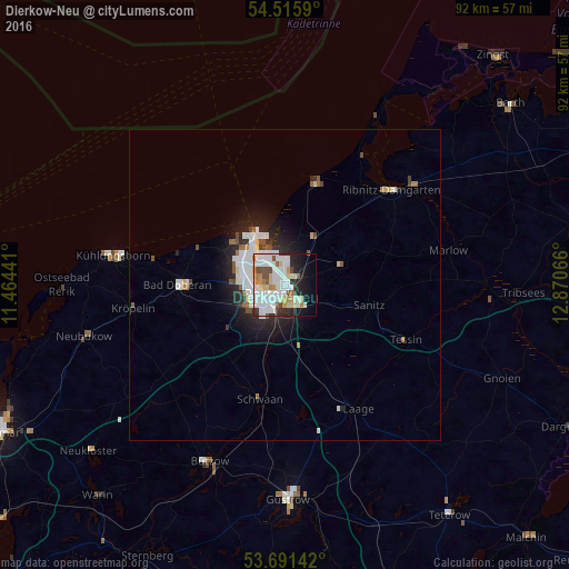
90.23%Clear (daylight) street map image can be seen on geolist.org.
Map coordinates:
54° 30' 57.2" North, 11° 27' 51.9" East
54° 6' 20.6" North, 12° 10' 3.1" East
53° 41' 29.1" North, 12° 52' 14.4" East
Some cities around Dierkow-Neu sort by population:
• Rostock
2.6 km =1.6 mi,  222°
222°
• Ribnitz-Damgarten
24.2 km =15 mi,  51°
51°
• Bad Doberan
17.4 km =10.8 mi,  270°
270°
• Warnemünde
9.6 km =6 mi,  325°
325°
• Bützow
31.1 km =19.3 mi,  202°
202°
• Ostseebad Kühlungsborn
27 km =16.8 mi,  280°
280°
• Satow-Oberhagen
22.2 km =13.8 mi,  236°
236°
• Schwaan
18.8 km =11.7 mi,  192°
192°
9222696 (p: 10,552)
Sources (retrieved 2019-11-25):
» Earth at Night: Flat Maps 2012, 2016