Satow-Oberhagen night lights from space
Night Light of Satow-Oberhagen (Mecklenburg-Vorpommern) from space (Germany) Src. Average luminocity for 10x10km area is 0% and for 50x50km: 5.8811%.
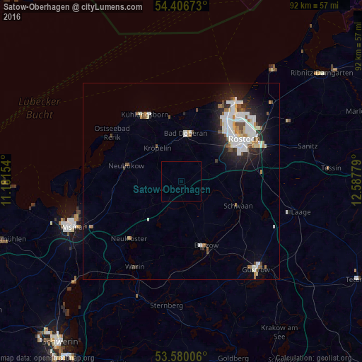
Analysis of Satow-Oberhagen night lights 2016
Square area 10x10 km:
 0%
0%90-99
0%80-89
0%70-79
0%60-69
0%50-59
0%40-49
0%30-39
0%20-29
0%10-19
0%0-9
100%Square area 50x50 km:
1.51%90-99
1.58%80-89
0.4%70-79
0.29%60-69
0.52%50-59
0.56%40-49
0.59%30-39
0.35%20-29
1.62%10-19
2.92%0-9
89.66%Clear (daylight) street map image can be seen on geolist.org.
Map coordinates:
54° 24' 24.2" North, 11° 10' 53.5" East
53° 59' 43.6" North, 11° 53' 4.8" East
53° 34' 48.2" North, 12° 35' 16" East
Some cities around Satow-Oberhagen sort by population:
• Rostock
19.7 km =12.2 mi,  58°
58°
• Güstrow
29 km =18 mi,  139°
139°
• Bad Doberan
12.5 km =7.8 mi,  4°
4°
• Dierkow-Neu
22.2 km =13.8 mi, 56°
• Warnemünde
24 km =14.9 mi,  32°
32°
• Bützow
17.6 km =10.9 mi,  158°
158°
• Ostseebad Kühlungsborn
19 km =11.8 mi,  334°
334°
• Schwaan
15.8 km =9.8 mi,  112°
112°
2841321 (p: 5,895)
Sources (retrieved 2019-11-25):
» Earth at Night: Flat Maps 2012, 2016