Grafenau night lights from space
Night Light of Grafenau (Bavaria) from space (Germany) Src. Average luminocity for 10x10km area is 1.9176% and for 50x50km: 0.603%.
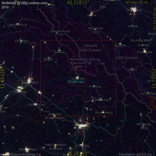
Analysis of Grafenau night lights 2016
Square area 10x10 km:
 0%
0%90-99
0%80-89
1.14%70-79
0%60-69
0%50-59
0.57%40-49
0%30-39
0.57%20-29
0.57%10-19
0.57%0-9
96.59%Square area 50x50 km:
0%90-99
0.05%80-89
0.06%70-79
0.04%60-69
0.06%50-59
0.18%40-49
0.2%30-39
0.27%20-29
0.18%10-19
0.27%0-9
98.72%Clear (daylight) street map image can be seen on geolist.org.
Map coordinates:
49° 19' 5.3" North, 12° 41' 39.4" East
48° 51' 27.6" North, 13° 23' 50.6" East
48° 23' 34.5" North, 14° 6' 1.9" East
Some cities around Grafenau sort by population:
• Regen
23.4 km =14.5 mi,  302°
302°
• Waldkirchen
20.4 km =12.7 mi,  133°
133°
• Zwiesel
21.2 km =13.2 mi,  326°
326°
• Hengersberg
26.8 km =16.7 mi,  249°
249°
• Freyung
12.2 km =7.6 mi,  115°
115°
• Salzweg
27.5 km =17.1 mi,  166°
166°
• Hutthurm
21.3 km =13.2 mi, 165°
• Schöllnach
19.8 km =12.3 mi,  234°
234°
2918365 (p: 8,870)
Sources (retrieved 2019-11-25):
» Earth at Night: Flat Maps 2012, 2016