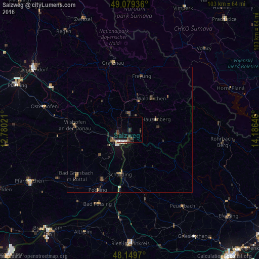
Salzweg night lights from space
Night Light of Salzweg (Bavaria) from space (Germany) Src. Average luminocity for 10x10km area is 10.9048% and for 50x50km: 1.8331%.
Analysis of Salzweg night lights 2016
Square area 10x10 km:
 1.79%
1.79%90-99
2.08%80-89
0.6%70-79
0%60-69
0.15%50-59
1.93%40-49
3.13%30-39
1.79%20-29
0.74%10-19
12.65%0-9
75.15%Square area 50x50 km:
0.12%90-99
0.23%80-89
0.19%70-79
0.17%60-69
0.15%50-59
0.34%40-49
0.43%30-39
0.54%20-29
0.3%10-19
1.29%0-9
96.23%Clear (daylight) street map image can be seen on geolist.org.
Map coordinates:
49° 4' 45.7" North, 12° 46' 48.8" East
48° 37' 0" North, 13° 28' 60" East
48° 8' 58.9" North, 14° 11' 11.3" East
Some cities around Salzweg sort by population:
• Passau
6.8 km =4.2 mi,  214°
214°
• Vilshofen
21.4 km =13.3 mi,  273°
273°
• Hauzenberg
11.1 km =6.9 mi,  70°
70°
• Waldkirchen
15.5 km =9.6 mi,  33°
33°
• Fürstenzell
16.1 km =10 mi,  229°
229°
• Ortenburg
20.7 km =12.9 mi,  247°
247°
• Untergriesbach
14.3 km =8.9 mi,  109°
109°
• Hutthurm
6.3 km =3.9 mi,  352°
352°
2842109 (p: 6,805)
Sources (retrieved 2019-11-25):
» Earth at Night: Flat Maps 2012, 2016