Hengersberg night lights from space
Night Light of Hengersberg (Bavaria) from space (Germany) Src. Average luminocity for 10x10km area is 3.6406% and for 50x50km: 1.7879%.
Analysis of Hengersberg night lights 2016
Square area 10x10 km:
 0.14%
0.14%90-99
0.99%80-89
0.99%70-79
0.14%60-69
0.57%50-59
0%40-49
0.28%30-39
0.85%20-29
0%10-19
0%0-9
96.02%Square area 50x50 km:
0.19%90-99
0.24%80-89
0.16%70-79
0.13%60-69
0.22%50-59
0.25%40-49
0.27%30-39
0.53%20-29
0.42%10-19
0.28%0-9
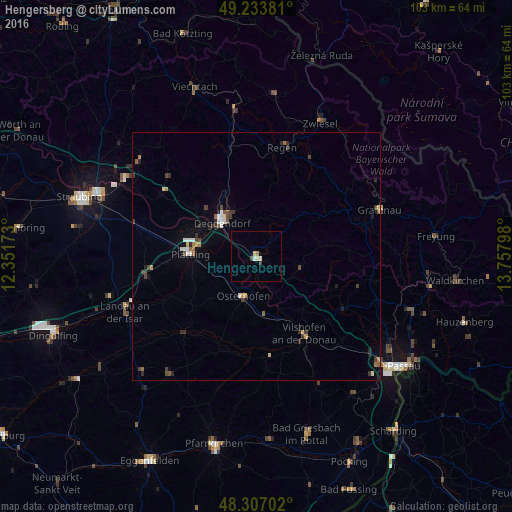
97.31%Clear (daylight) street map image can be seen on geolist.org.
Map coordinates:
49° 14' 1.7" North, 12° 21' 6.2" East
48° 46' 21.2" North, 13° 3' 17.5" East
48° 18' 25.3" North, 13° 45' 28.7" East
Some cities around Hengersberg sort by population:
• Deggendorf
10.3 km =6.4 mi,  317°
317°
• Vilshofen
19.1 km =11.9 mi,  148°
148°
• Plattling
13.2 km =8.2 mi,  272°
272°
• Regen
22.8 km =14.2 mi,  13°
13°
• Osterhofen
8.4 km =5.2 mi,  196°
196°
• Wallersdorf
22.9 km =14.2 mi,  260°
260°
• Eichendorf
21.3 km =13.2 mi,  223°
223°
• Schöllnach
9.2 km =5.7 mi,  102°
102°
2906464 (p: 7,551)
Sources (retrieved 2019-11-25):
» Earth at Night: Flat Maps 2012, 2016