Gotha night lights from space
Night Light of Gotha (Thuringia) from space (Germany) Src. Average luminocity for 10x10km area is 19.6975% and for 50x50km: 5.0686%.
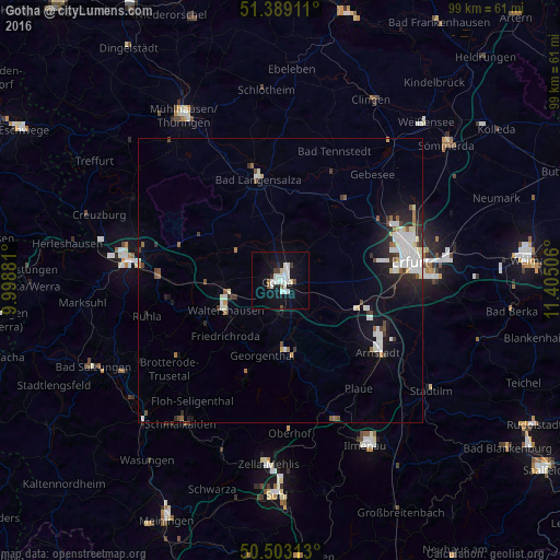
Analysis of Gotha night lights 2016
Square area 10x10 km:
 5.04%
5.04%90-99
6.3%80-89
0.98%70-79
0%60-69
0.42%50-59
1.54%40-49
1.12%30-39
1.12%20-29
1.54%10-19
21.57%0-9
60.36%Square area 50x50 km:
1.14%90-99
1.28%80-89
0.38%70-79
0.13%60-69
0.28%50-59
0.55%40-49
0.42%30-39
0.56%20-29
1.21%10-19
3.25%0-9
90.82%Clear (daylight) street map image can be seen on geolist.org.
Map coordinates:
51° 23' 20.8" North, 9° 59' 55.7" East
50° 56' 53.6" North, 10° 42' 6.9" East
50° 30' 11.3" North, 11° 24' 18.2" East
Some cities around Gotha sort by population:
• Erfurt
23.4 km =14.5 mi,  81°
81°
• Eisenach
27.3 km =17 mi,  277°
277°
• Arnstadt
21.2 km =13.2 mi,  124°
124°
• Bad Langensalza
18.2 km =11.3 mi,  347°
347°
• Waltershausen
11.5 km =7.1 mi,  241°
241°
• Ruhla
24.4 km =15.2 mi,  255°
255°
• Friedrichroda
13.9 km =8.6 mi,  223°
223°
• Steinbach-Hallenberg
29.6 km =18.4 mi,  198°
198°
2918752 (p: 46,615)
Sources (retrieved 2019-11-25):
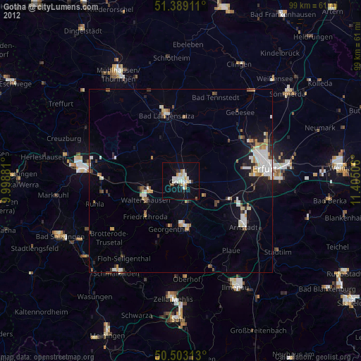
» Earth at Night: Flat Maps 2012, 2016