Bad Langensalza night lights from space
Night Light of Bad Langensalza (Thuringia) from space (Germany) Src. Average luminocity for 10x10km area is 3.6243% and for 50x50km: 3.6989%.
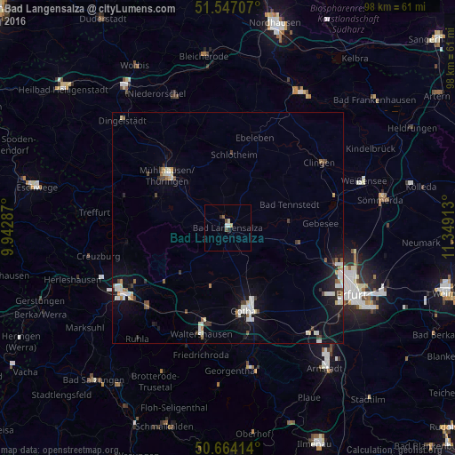
Analysis of Bad Langensalza night lights 2016
Square area 10x10 km:
 0.53%
0.53%90-99
0.8%80-89
0.8%70-79
0%60-69
0.13%50-59
0.67%40-49
0.8%30-39
0.4%20-29
0.67%10-19
0%0-9
95.19%Square area 50x50 km:
0.62%90-99
0.83%80-89
0.34%70-79
0.17%60-69
0.25%50-59
0.4%40-49
0.42%30-39
0.39%20-29
0.66%10-19
2.66%0-9
93.25%Clear (daylight) street map image can be seen on geolist.org.
Map coordinates:
51° 32' 49.5" North, 9° 56' 34.3" East
51° 6' 27.8" North, 10° 38' 45.6" East
50° 39' 50.9" North, 11° 20' 56.9" East
Some cities around Bad Langensalza sort by population:
• Erfurt
30.6 km =19 mi,  117°
117°
• Gotha
18.2 km =11.3 mi,  167°
167°
• Eisenach
27.1 km =16.8 mi,  238°
238°
• Mühlhausen
17.6 km =10.9 mi,  309°
309°
• Waltershausen
24.1 km =15 mi,  194°
194°
• Ruhla
30.9 km =19.2 mi,  219°
219°
• Treffurt
29 km =18 mi,  276°
276°
• Friedrichroda
28.4 km =17.6 mi, 191°
2953413 (p: 18,183)
Sources (retrieved 2019-11-25):
» Earth at Night: Flat Maps 2012, 2016