Eisenach night lights from space
Night Light of Eisenach (Thuringia) from space (Germany) Src. Average luminocity for 10x10km area is 18.8155% and for 50x50km: 2.0785%.
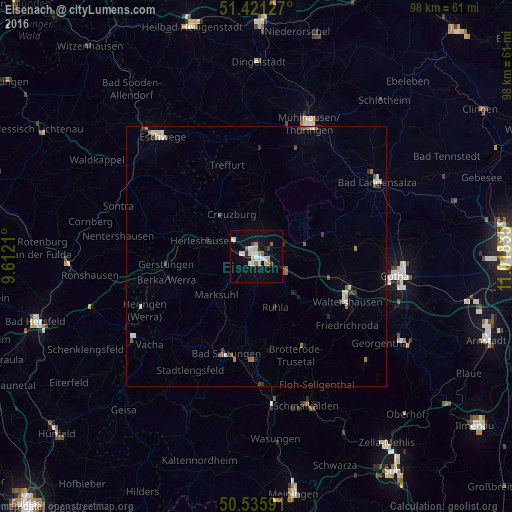
Analysis of Eisenach night lights 2016
Square area 10x10 km:
 4.01%
4.01%90-99
4.28%80-89
1.87%70-79
1.6%60-69
2.01%50-59
0.67%40-49
1.07%30-39
0.53%20-29
0.53%10-19
17.25%0-9
66.18%Square area 50x50 km:
0.33%90-99
0.37%80-89
0.16%70-79
0.14%60-69
0.3%50-59
0.23%40-49
0.33%30-39
0.22%20-29
0.26%10-19
0.81%0-9
96.86%Clear (daylight) street map image can be seen on geolist.org.
Map coordinates:
51° 25' 16.6" North, 9° 36' 43.6" East
50° 58' 50.5" North, 10° 18' 54.8" East
50° 32' 9.3" North, 11° 1' 6.1" East
Some cities around Eisenach sort by population:
• Mühlhausen
27.1 km =16.8 mi,  20°
20°
• Bad Salzungen
19.4 km =12.1 mi,  196°
196°
• Waltershausen
19.3 km =12 mi,  118°
118°
• Heringen
23.9 km =14.9 mi,  244°
244°
• Ruhla
10.4 km =6.5 mi,  160°
160°
• Treffurt
18.3 km =11.4 mi,  341°
341°
• Friedrichroda
22.2 km =13.8 mi,  128°
128°
• Breitungen
24.2 km =15 mi,  177°
177°
2931574 (p: 43,846)
Sources (retrieved 2019-11-25):
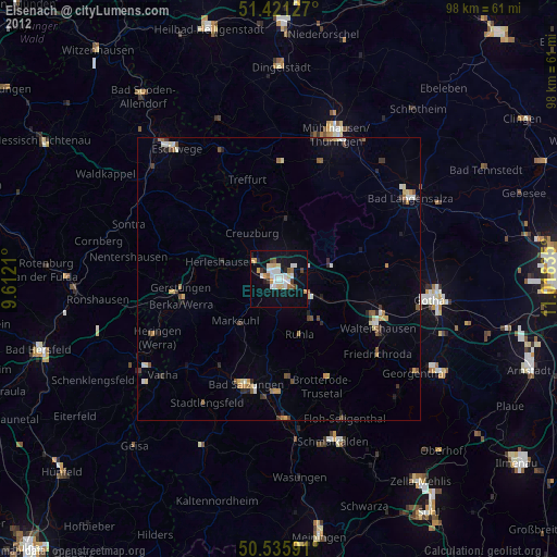
» Earth at Night: Flat Maps 2012, 2016