Erfurt night lights from space
Night Light of Erfurt (Thuringia) from space (Germany) Src. Average luminocity for 10x10km area is 58.4358% and for 50x50km: 6.4218%.
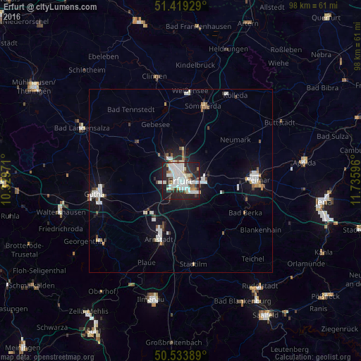
Analysis of Erfurt night lights 2016
Square area 10x10 km:
 19.79%
90-99
17.78%80-89
5.48%70-79
1.87%60-69
2.81%50-59
3.74%40-49
2.14%30-39
5.88%20-29
27.27%10-19
12.83%0-9
0.4%Square area 50x50 km:
1.55%90-99
1.55%80-89
0.45%70-79
0.3%60-69
0.39%50-59
0.57%40-49
0.39%30-39
0.56%20-29
1.65%10-19
5.02%0-9
87.58%Clear (daylight) street map image can be seen on geolist.org.
Map coordinates:
51° 25' 9.4" North, 10° 19' 47" East
50° 58' 43.3" North, 11° 1' 58.2" East
50° 32' 2" North, 11° 44' 9.5" East
Some cities around Erfurt sort by population:
• Weimar
20.7 km =12.9 mi,  89°
89°
• Gotha
23.4 km =14.5 mi,  261°
261°
• Arnstadt
16.4 km =10.2 mi,  200°
200°
• Sömmerda
20.9 km =13 mi,  16°
16°
• Bad Berka
19.6 km =12.2 mi,  116°
116°
• Blankenhain
25.5 km =15.8 mi, 121°
• Kölleda
27.5 km =17.1 mi,  32°
32°
• Stadtilm
22.8 km =14.2 mi,  171°
171°
2929670 (p: 203,254)
Sources (retrieved 2019-11-25):
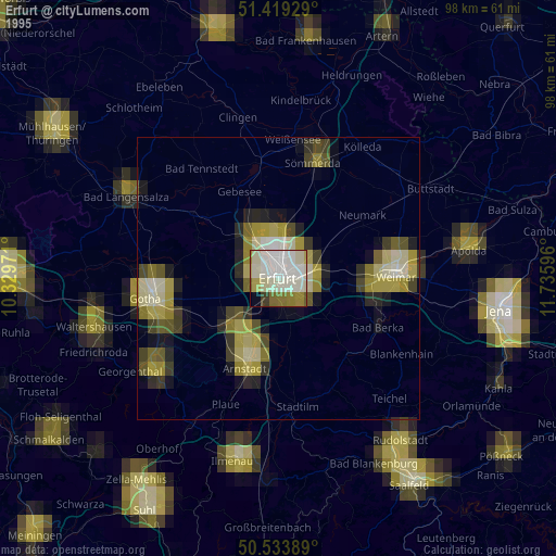
» NASA, Earths city lights 1995
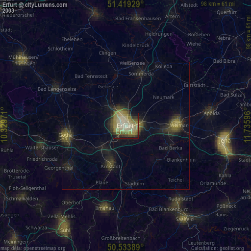
» NASA city lights 2003
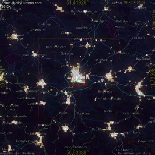
» Earth at Night: Flat Maps 2012, 2016