Fehrbellin night lights from space
Night Light of Fehrbellin (Brandenburg) from space (Germany) Src. Average luminocity for 10x10km area is 0.3497% and for 50x50km: 0.9009%.
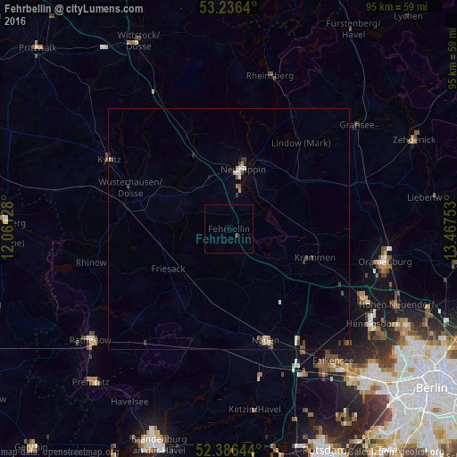
Analysis of Fehrbellin night lights 2016
Square area 10x10 km:
 0%
0%90-99
0%80-89
0%70-79
0%60-69
0%50-59
0.51%40-49
0%30-39
0%20-29
0%10-19
0%0-9
99.49%Square area 50x50 km:
0.12%90-99
0.1%80-89
0.06%70-79
0.1%60-69
0.07%50-59
0.18%40-49
0.15%30-39
0.25%20-29
0.07%10-19
0.21%0-9
98.68%Clear (daylight) street map image can be seen on geolist.org.
Map coordinates:
53° 14' 11" North, 12° 3' 40.6" East
52° 48' 48.6" North, 12° 45' 51.8" East
52° 23' 11.2" North, 13° 28' 3.1" East
Some cities around Fehrbellin sort by population:
• Neuruppin
13 km =8.1 mi,  11°
11°
• Nauen
24.1 km =15 mi,  162°
162°
• Velten
30.8 km =19.1 mi,  116°
116°
• Brieselang
30.1 km =18.7 mi,  148°
148°
• Kyritz
28.5 km =17.7 mi,  300°
300°
• Kremmen
18.4 km =11.4 mi,  108°
108°
• Wusterhausen
22.2 km =13.8 mi,  292°
292°
• Leegebruch
30.5 km =19 mi, 109°
2927564 (p: 9,413)
Sources (retrieved 2019-11-25):
» Earth at Night: Flat Maps 2012, 2016