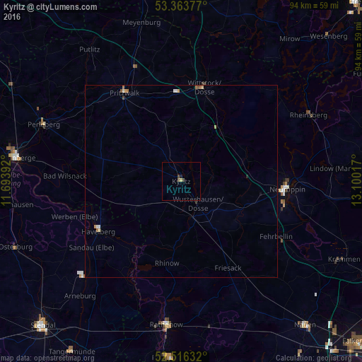
Kyritz night lights from space
Night Light of Kyritz (Brandenburg) from space (Germany) Src. Average luminocity for 10x10km area is 1.3069% and for 50x50km: 0.4276%.
Analysis of Kyritz night lights 2016
Square area 10x10 km:
 0%
0%90-99
0%80-89
0.26%70-79
0.26%60-69
0%50-59
0.53%40-49
0.66%30-39
0.4%20-29
0.53%10-19
0%0-9
97.35%Square area 50x50 km:
0.02%90-99
0.08%80-89
0.07%70-79
0.06%60-69
0.12%50-59
0.05%40-49
0.07%30-39
0.04%20-29
0.04%10-19
0.02%0-9
99.43%Clear (daylight) street map image can be seen on geolist.org.
Map coordinates:
53° 21' 49.6" North, 11° 41' 38.1" East
52° 56' 31.6" North, 12° 23' 49.3" East
52° 30' 58.8" North, 13° 6' 0.6" East
Some cities around Kyritz sort by population:
• Neuruppin
27.3 km =17 mi,  93°
93°
• Rathenow
37.5 km =23.3 mi,  186°
186°
• Wittstock
25 km =15.5 mi,  13°
13°
• Pritzwalk
27.5 km =17.1 mi,  327°
327°
• Fehrbellin
28.5 km =17.7 mi,  120°
120°
• Rheinsberg
37.9 km =23.5 mi,  62°
62°
• Havelberg
24.9 km =15.5 mi,  240°
240°
• Wusterhausen
7.1 km =4.4 mi,  143°
143°
2882161 (p: 10,274)
Sources (retrieved 2019-11-25):
» Earth at Night: Flat Maps 2012, 2016