Neuruppin night lights from space
Night Light of Neuruppin (Brandenburg) from space (Germany) Src. Average luminocity for 10x10km area is 8.2368% and for 50x50km: 0.5028%.
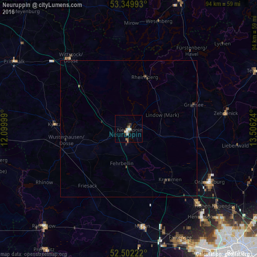
Analysis of Neuruppin night lights 2016
Square area 10x10 km:
 1.72%
1.72%90-99
1.46%80-89
0.13%70-79
1.46%60-69
0.79%50-59
1.06%40-49
1.19%30-39
0.79%20-29
0.26%10-19
1.06%0-9
90.08%Square area 50x50 km:
0.07%90-99
0.06%80-89
0.01%70-79
0.09%60-69
0.03%50-59
0.08%40-49
0.14%30-39
0.13%20-29
0.06%10-19
0.09%0-9
99.25%Clear (daylight) street map image can be seen on geolist.org.
Map coordinates:
53° 20' 59.7" North, 12° 5' 60" East
52° 55' 41.3" North, 12° 48' 11.2" East
52° 30' 8" North, 13° 30' 22.5" East
Some cities around Neuruppin sort by population:
• Wittstock
33.6 km =20.9 mi,  320°
320°
• Kyritz
27.3 km =17 mi,  273°
273°
• Fehrbellin
13 km =8.1 mi,  191°
191°
• Rheinsberg
20.1 km =12.5 mi,  18°
18°
• Kremmen
23.7 km =14.7 mi,  141°
141°
• Wusterhausen
23.4 km =14.5 mi,  259°
259°
• Gransee
25.3 km =15.7 mi,  69°
69°
• Leegebruch
34.7 km =21.6 mi,  130°
130°
2864276 (p: 31,901)
Sources (retrieved 2019-11-25):
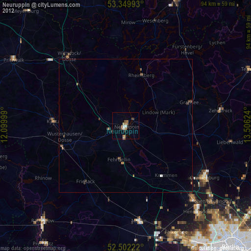
» Earth at Night: Flat Maps 2012, 2016