Ahlen night lights from space
Night Light of Ahlen (North Rhine-Westphalia) from space (Germany) Src. Average luminocity for 10x10km area is 14.1359% and for 50x50km: 10.0179%.
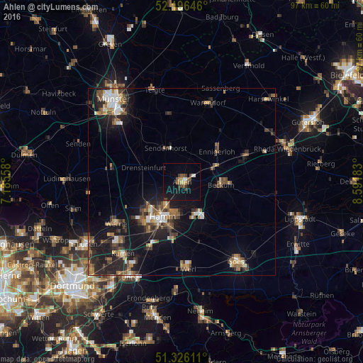
Analysis of Ahlen night lights 2016
Square area 10x10 km:
 0.42%
0.42%90-99
1.82%80-89
1.12%70-79
0.98%60-69
1.54%50-59
3.22%40-49
3.36%30-39
2.1%20-29
1.12%10-19
14.29%0-9
70.03%Square area 50x50 km:
1.08%90-99
1.26%80-89
0.71%70-79
0.89%60-69
1.72%50-59
1.71%40-49
1.97%30-39
1.83%20-29
2.97%10-19
8.46%0-9
77.39%Clear (daylight) street map image can be seen on geolist.org.
Map coordinates:
52° 11' 47.3" North, 7° 11' 8.1" East
51° 45' 48.2" North, 7° 53' 19.3" East
51° 19' 34" North, 8° 35' 30.6" East
Some cities around Ahlen sort by population:
• Hamm
10.3 km =6.4 mi,  206°
206°
• Beckum
10.5 km =6.5 mi,  94°
94°
• Ennigerloh
12.9 km =8 mi,  49°
49°
• Drensteinfurt
10.9 km =6.8 mi,  288°
288°
• Ascheberg
18.8 km =11.7 mi,  276°
276°
• Sendenhorst
9.7 km =6 mi,  335°
335°
• Welver
17.2 km =10.7 mi,  161°
161°
• Everswinkel
18.3 km =11.4 mi,  350°
350°
2959223 (p: 55,280)
Sources (retrieved 2019-11-25):
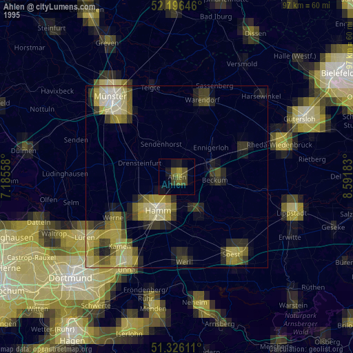
» NASA, Earths city lights 1995
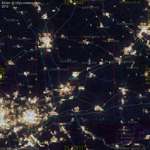
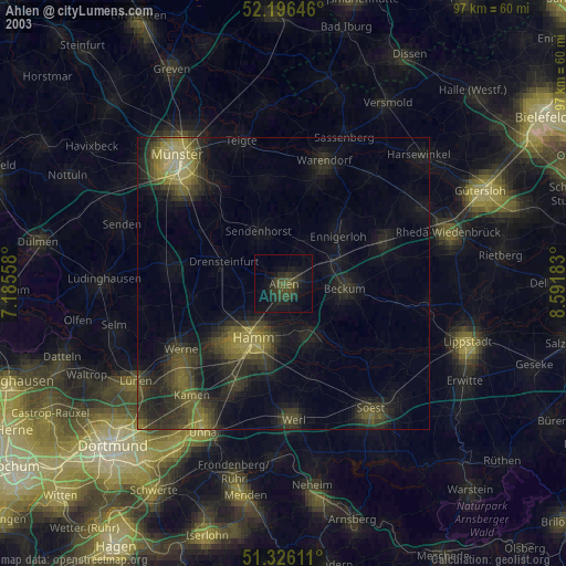
» NASA city lights 2003
» Earth at Night: Flat Maps 2012, 2016