Diepholz night lights from space
Night Light of Diepholz (Lower Saxony) from space (Germany) Src. Average luminocity for 10x10km area is 1.9299% and for 50x50km: 1.0348%.
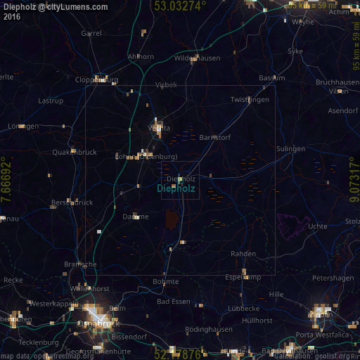
Analysis of Diepholz night lights 2016
Square area 10x10 km:
 0%
0%90-99
0%80-89
0%70-79
0.53%60-69
0.93%50-59
0.66%40-49
0.53%30-39
0%20-29
0.53%10-19
0%0-9
96.83%Square area 50x50 km:
0.07%90-99
0.11%80-89
0.09%70-79
0.14%60-69
0.16%50-59
0.28%40-49
0.23%30-39
0.15%20-29
0.24%10-19
0.1%0-9
98.44%Clear (daylight) street map image can be seen on geolist.org.
Map coordinates:
53° 1' 57.9" North, 7° 40' 0.9" East
52° 36' 28.2" North, 8° 22' 12.2" East
52° 10' 43.5" North, 9° 4' 23.4" East
Some cities around Diepholz sort by population:
• Vechta
14.3 km =8.9 mi,  336°
336°
• Lohne
11.1 km =6.9 mi,  305°
305°
• Damme
15.1 km =9.4 mi,  230°
230°
• Dinklage
17.6 km =10.9 mi,  290°
290°
• Steinfeld
10.8 km =6.7 mi,  256°
256°
• Wagenfeld
15.8 km =9.8 mi,  114°
114°
• Holdorf
17.3 km =10.7 mi, 260°
• Barnstorf
14.5 km =9 mi,  38°
38°
2937317 (p: 16,783)
Sources (retrieved 2019-11-25):
» Earth at Night: Flat Maps 2012, 2016