Holdorf night lights from space
Night Light of Holdorf (Lower Saxony) from space (Germany) Src. Average luminocity for 10x10km area is 0.3968% and for 50x50km: 1.1446%.
Analysis of Holdorf night lights 2016
Square area 10x10 km:
 0%
0%90-99
0%80-89
0%70-79
0%60-69
0%50-59
0%40-49
0.26%30-39
0.26%20-29
0.53%10-19
0%0-9
98.94%Square area 50x50 km:
0.07%90-99
0.11%80-89
0.08%70-79
0.16%60-69
0.24%50-59
0.3%40-49
0.23%30-39
0.22%20-29
0.23%10-19
0.11%0-9
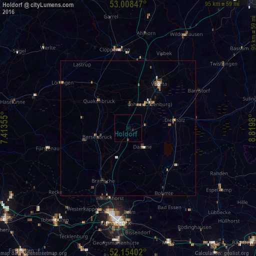
98.25%Clear (daylight) street map image can be seen on geolist.org.
Map coordinates:
53° 0' 30.5" North, 7° 24' 48.8" East
52° 34' 60" North, 8° 7' 0" East
52° 9' 14.5" North, 8° 49' 11.3" East
Some cities around Holdorf sort by population:
• Lohne
12.3 km =7.6 mi,  41°
41°
• Diepholz
17.3 km =10.7 mi,  80°
80°
• Damme
8.8 km =5.5 mi,  141°
141°
• Quakenbrück
15.2 km =9.4 mi,  312°
312°
• Dinklage
8.8 km =5.5 mi,  3°
3°
• Steinfeld
6.6 km =4.1 mi,  87°
87°
• Bersenbrück
11.9 km =7.4 mi,  252°
252°
• Ankum
16.2 km =10.1 mi,  256°
256°
2900740 (p: 6,557)
Sources (retrieved 2019-11-25):
» Earth at Night: Flat Maps 2012, 2016