Vechta night lights from space
Night Light of Vechta (Lower Saxony) from space (Germany) Src. Average luminocity for 10x10km area is 7.5783% and for 50x50km: 1.226%.
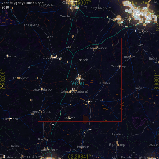
Analysis of Vechta night lights 2016
Square area 10x10 km:
 0.51%
0.51%90-99
1.14%80-89
0.38%70-79
0.51%60-69
1.26%50-59
2.27%40-49
0.88%30-39
0.63%20-29
1.89%10-19
0.13%0-9
90.4%Square area 50x50 km:
0.06%90-99
0.1%80-89
0.09%70-79
0.21%60-69
0.18%50-59
0.38%40-49
0.29%30-39
0.24%20-29
0.23%10-19
0.18%0-9
98.04%Clear (daylight) street map image can be seen on geolist.org.
Map coordinates:
53° 9' 0.3" North, 7° 34' 58.3" East
52° 43' 34.8" North, 8° 17' 9.5" East
52° 17' 54.3" North, 8° 59' 20.8" East
Some cities around Vechta sort by population:
• Lohne
7.4 km =4.6 mi,  206°
206°
• Diepholz
14.3 km =8.9 mi,  156°
156°
• Dinklage
13 km =8.1 mi,  236°
236°
• Visbek
12.1 km =7.5 mi,  9°
9°
• Goldenstedt
12 km =7.5 mi,  54°
54°
• Cappeln
14.9 km =9.3 mi,  309°
309°
• Barnstorf
14.7 km =9.1 mi,  97°
97°
• Bakum
6.3 km =3.9 mi,  285°
285°
2817812 (p: 29,729)
Sources (retrieved 2019-11-25):
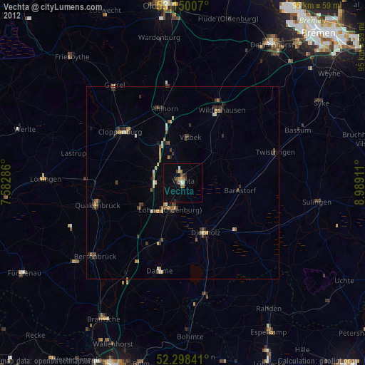
» Earth at Night: Flat Maps 2012, 2016