Coesfeld night lights from space
Night Light of Coesfeld (North Rhine-Westphalia) from space (Germany) Src. Average luminocity for 10x10km area is 8.6831% and for 50x50km: 3.1853%.
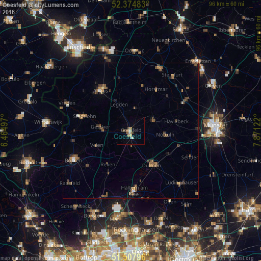
Analysis of Coesfeld night lights 2016
Square area 10x10 km:
 0.51%
0.51%90-99
1.52%80-89
1.01%70-79
1.77%60-69
1.01%50-59
1.89%40-49
1.39%30-39
0.51%20-29
0.38%10-19
0.25%0-9
89.77%Square area 50x50 km:
0.13%90-99
0.22%80-89
0.18%70-79
0.33%60-69
0.67%50-59
0.75%40-49
0.88%30-39
0.69%20-29
0.46%10-19
0.82%0-9
94.87%Clear (daylight) street map image can be seen on geolist.org.
Map coordinates:
52° 22' 29.4" North, 6° 27' 53.9" East
51° 56' 36.6" North, 7° 10' 5.1" East
51° 30' 28.7" North, 7° 52' 16.4" East
Some cities around Coesfeld sort by population:
• Dülmen
14.7 km =9.1 mi,  148°
148°
• Nottuln
12.5 km =7.8 mi,  95°
95°
• Gescher
11.3 km =7 mi,  275°
275°
• Velen
13.5 km =8.4 mi,  246°
246°
• Havixbeck
17.6 km =10.9 mi,  75°
75°
• Billerbeck
9.4 km =5.8 mi,  65°
65°
• Horstmar
17.9 km =11.1 mi,  31°
31°
• Legden
11 km =6.8 mi,  334°
334°
2939945 (p: 36,631)
Sources (retrieved 2019-11-25):
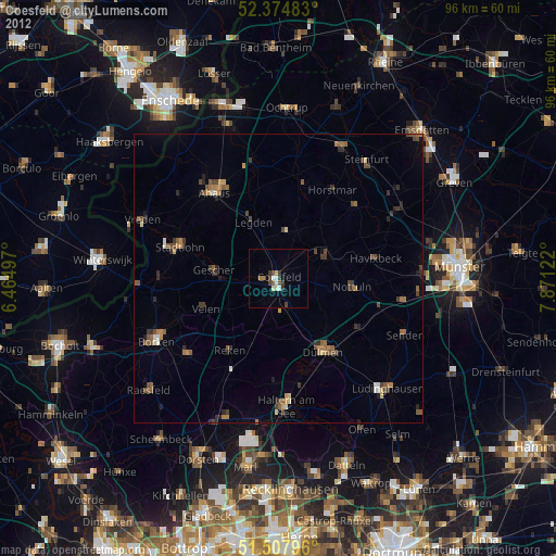
» Earth at Night: Flat Maps 2012, 2016