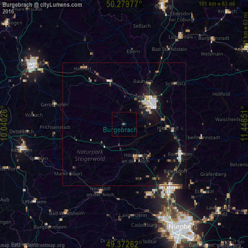
Burgebrach night lights from space
Night Light of Burgebrach (Bavaria) from space (Germany) Src. Average luminocity for 10x10km area is 0.6765% and for 50x50km: 4.5042%.
Analysis of Burgebrach night lights 2016
Square area 10x10 km:
 0%
0%90-99
0%80-89
0%70-79
0%60-69
0.27%50-59
0.27%40-49
0%30-39
0.53%20-29
0.4%10-19
0.13%0-9
98.4%Square area 50x50 km:
0.61%90-99
0.71%80-89
0.37%70-79
0.29%60-69
0.41%50-59
0.65%40-49
0.78%30-39
0.53%20-29
1.37%10-19
3.96%0-9
90.32%Clear (daylight) street map image can be seen on geolist.org.
Map coordinates:
50° 16' 47.2" North, 10° 2' 24.9" East
49° 49' 42" North, 10° 44' 36.2" East
49° 22' 21.4" North, 11° 26' 47.4" East
Some cities around Burgebrach sort by population:
• Bamberg
13.7 km =8.5 mi,  55°
55°
• Höchstadt an der Aisch
14.5 km =9 mi,  159°
159°
• Hallstadt
14.7 km =9.1 mi,  40°
40°
• Strullendorf
16.5 km =10.3 mi,  83°
83°
• Stegaurach
8.3 km =5.2 mi, 60°
• Schlüsselfeld
12 km =7.5 mi,  228°
228°
• Bischberg
11.2 km =7 mi,  34°
34°
• Eltmann
16.8 km =10.4 mi,  341°
341°
2941403 (p: 6,412)
Sources (retrieved 2019-11-25):
» Earth at Night: Flat Maps 2012, 2016