Bamberg night lights from space
Night Light of Bamberg (Bavaria) from space (Germany) Src. Average luminocity for 10x10km area is 38.57% and for 50x50km: 3.7086%.
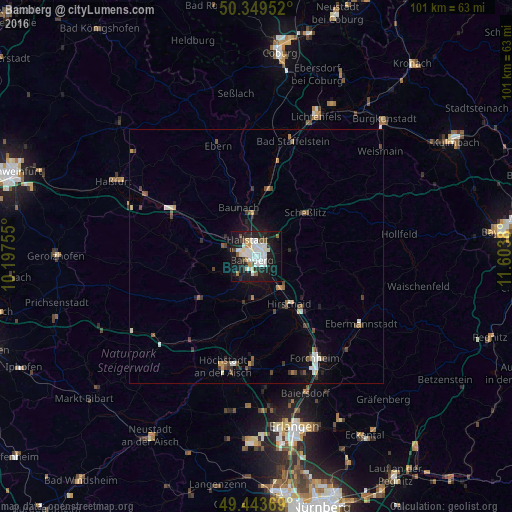
Analysis of Bamberg night lights 2016
Square area 10x10 km:
 11.06%
90-99
9.94%80-89
3.5%70-79
1.82%60-69
1.68%50-59
3.78%40-49
2.24%30-39
0.7%20-29
11.76%10-19
37.25%0-9
16.25%Square area 50x50 km:
0.58%90-99
0.72%80-89
0.21%70-79
0.26%60-69
0.36%50-59
0.48%40-49
0.67%30-39
0.4%20-29
0.89%10-19
2.75%0-9
92.67%Clear (daylight) street map image can be seen on geolist.org.
Map coordinates:
50° 20' 58.3" North, 10° 11' 51.2" East
49° 53' 55.4" North, 10° 54' 2.4" East
49° 26' 37.3" North, 11° 36' 13.7" East
Some cities around Bamberg sort by population:
• Hirschaid
11 km =6.8 mi,  144°
144°
• Memmelsdorf
5.5 km =3.4 mi,  50°
50°
• Hallstadt
3.8 km =2.4 mi,  331°
331°
• Strullendorf
7.9 km =4.9 mi, 139°
• Scheßlitz
12.8 km =8 mi, 47°
• Stegaurach
5.5 km =3.4 mi,  227°
227°
• Litzendorf
8 km =5 mi,  77°
77°
• Bischberg
5.1 km =3.2 mi,  285°
285°
2952984 (p: 70,047)
Sources (retrieved 2019-11-25):
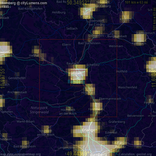
» NASA, Earths city lights 1995
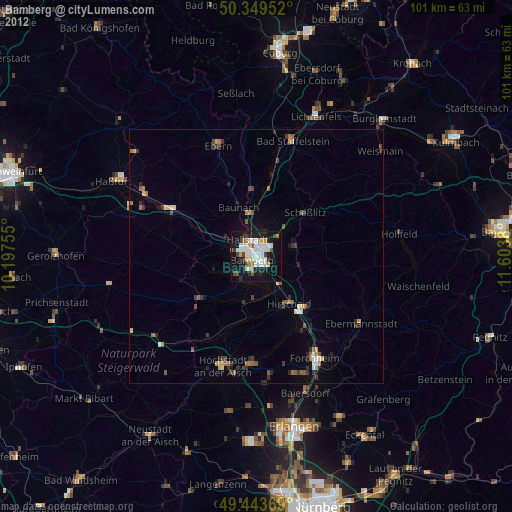
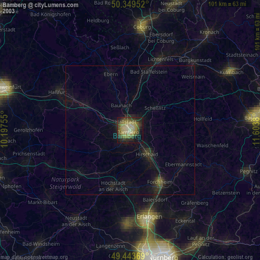
» NASA city lights 2003
» Earth at Night: Flat Maps 2012, 2016