Stegaurach night lights from space
Night Light of Stegaurach (Bavaria) from space (Germany) Src. Average luminocity for 10x10km area is 20.0682% and for 50x50km: 3.9479%.
Analysis of Stegaurach night lights 2016
Square area 10x10 km:
 6.02%
6.02%90-99
4.28%80-89
1.87%70-79
1.2%60-69
1.2%50-59
1.47%40-49
1.47%30-39
0.27%20-29
5.08%10-19
17.25%0-9
59.89%Square area 50x50 km:
0.57%90-99
0.72%80-89
0.21%70-79
0.31%60-69
0.37%50-59
0.52%40-49
0.69%30-39
0.42%20-29
0.95%10-19
3.12%0-9
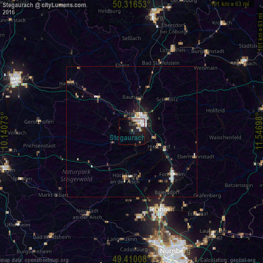
92.11%Clear (daylight) street map image can be seen on geolist.org.
Map coordinates:
50° 18' 59.5" North, 10° 8' 26.6" East
49° 51' 55.5" North, 10° 50' 37.9" East
49° 24' 36.3" North, 11° 32' 49.1" East
Some cities around Stegaurach sort by population:
• Bamberg
5.5 km =3.4 mi,  47°
47°
• Hirschaid
11.7 km =7.3 mi,  116°
116°
• Memmelsdorf
11 km =6.8 mi, 48°
• Hallstadt
7.4 km =4.6 mi,  17°
17°
• Strullendorf
9.5 km =5.9 mi,  104°
104°
• Burgebrach
8.3 km =5.2 mi,  240°
240°
• Litzendorf
13.1 km =8.1 mi,  65°
65°
• Bischberg
5.1 km =3.2 mi,  350°
350°
2829145 (p: 6,804)
Sources (retrieved 2019-11-25):
» Earth at Night: Flat Maps 2012, 2016