Buckow night lights from space
Night Light of Buckow (Berlin) from space (Germany) Src. Average luminocity for 10x10km area is 85.2588% and for 50x50km: 36.0183%.
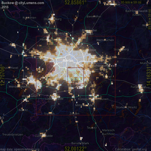
Analysis of Buckow night lights 2016
Square area 10x10 km:
 27.15%
90-99
29.92%80-89
14.65%70-79
9.34%60-69
6.57%50-59
3.16%40-49
5.18%30-39
4.04%20-29
0%10-19
0%0-9
0%Square area 50x50 km:
10.62%90-99
9.05%80-89
3.48%70-79
3.02%60-69
2.94%50-59
3.18%40-49
3.81%30-39
4.29%20-29
8.03%10-19
13.4%0-9
38.17%Clear (daylight) street map image can be seen on geolist.org.
Map coordinates:
52° 51' 31" North, 12° 45' 25.4" East
52° 25' 55.2" North, 13° 27' 36.6" East
52° 0' 4.4" North, 14° 9' 47.9" East
Some cities around Buckow sort by population:
• Lichtenrade
5.2 km =3.2 mi,  224°
224°
• Rudow
1.9 km =1.2 mi,  117°
117°
• Britz
2.2 km =1.4 mi,  304°
304°
• Gropiusstadt
0.9 km =0.6 mi,  150°
150°
• Oberschöneweide
5.2 km =3.2 mi,  51°
51°
• Johannisthal
3.5 km =2.2 mi,  62°
62°
• Baumschulenweg
4.1 km =2.5 mi,  24°
24°
• Niederschöneweide
4.6 km =2.9 mi, 54°
2942122 (p: 38,474)
Sources (retrieved 2019-11-25):
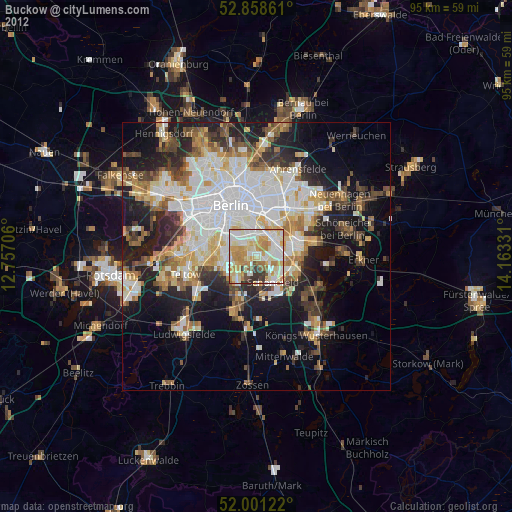
» Earth at Night: Flat Maps 2012, 2016