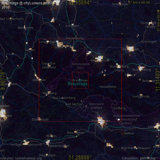
Braunlage night lights from space
Night Light of Braunlage (Lower Saxony) from space (Germany) Src. Average luminocity for 10x10km area is 0.2213% and for 50x50km: 2.5022%.
Analysis of Braunlage night lights 2016
Square area 10x10 km:
 0%
0%90-99
0%80-89
0%70-79
0%60-69
0%50-59
0%40-49
0%30-39
0.56%20-29
0%10-19
0%0-9
99.44%Square area 50x50 km:
0.28%90-99
0.43%80-89
0.22%70-79
0.35%60-69
0.39%50-59
0.35%40-49
0.23%30-39
0.32%20-29
0.21%10-19
1.07%0-9
96.13%Clear (daylight) street map image can be seen on geolist.org.
Map coordinates:
52° 9' 35.8" North, 9° 54' 28" East
51° 43' 35.4" North, 10° 36' 39.2" East
51° 17' 20" North, 11° 18' 50.5" East
Some cities around Braunlage sort by population:
• Wernigerode
17 km =10.6 mi,  43°
43°
• Bad Harzburg
17.7 km =11 mi,  348°
348°
• Clausthal-Zellerfeld
20.9 km =13 mi,  296°
296°
• Herzberg am Harz
20.3 km =12.6 mi,  247°
247°
• Bad Lauterberg im Harz
14.2 km =8.8 mi,  222°
222°
• Bad Sachsa
15.1 km =9.4 mi,  194°
194°
• Ellrich
16 km =9.9 mi,  166°
166°
• Ilsenburg
16.3 km =10.1 mi,  16°
16°
2945055 (p: 5,159)
Sources (retrieved 2019-11-25):
» Earth at Night: Flat Maps 2012, 2016